UK 2019 Day 14: Big Pit National Coal Mine and Newport Transporter Bridge

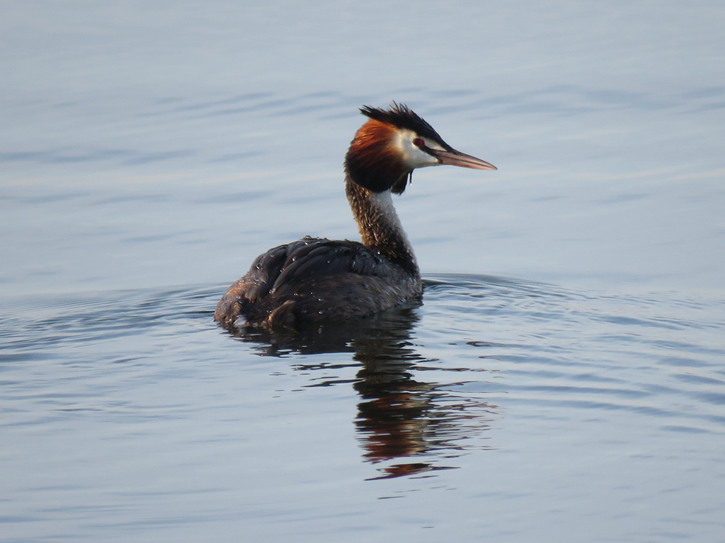
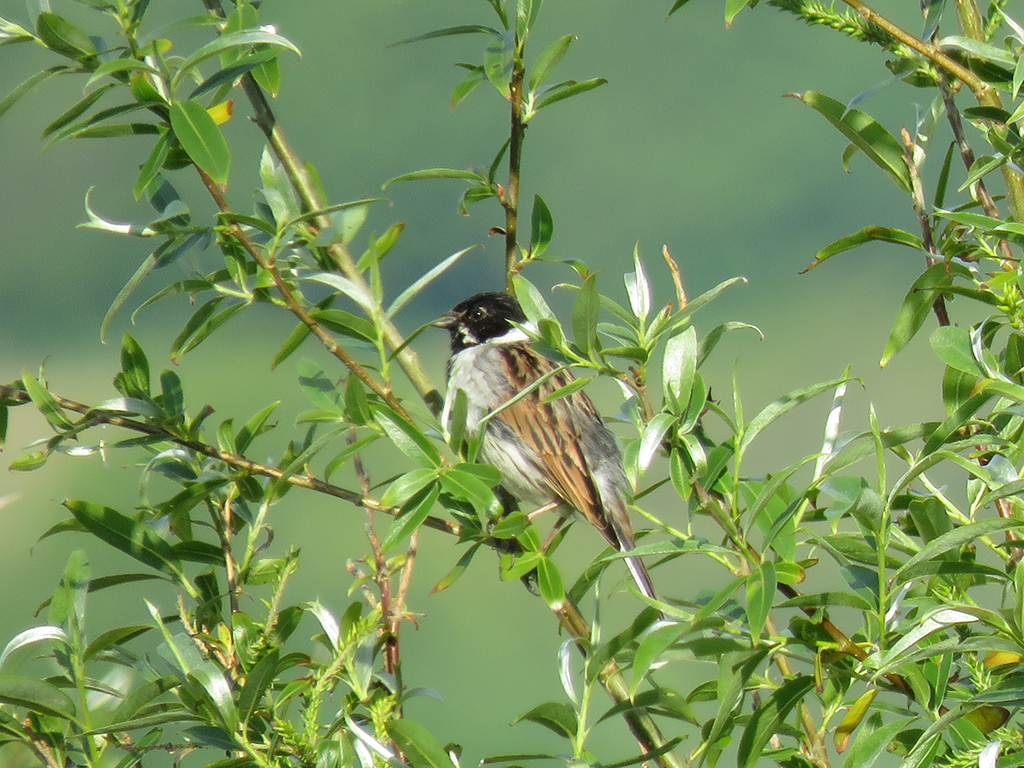
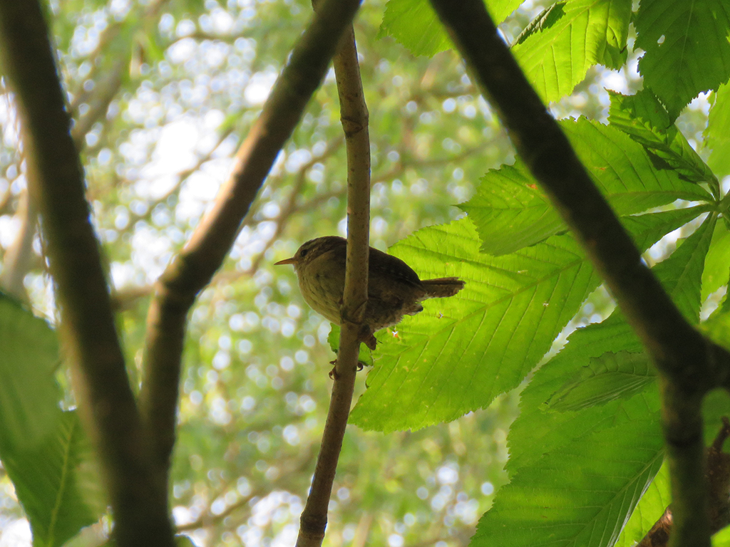
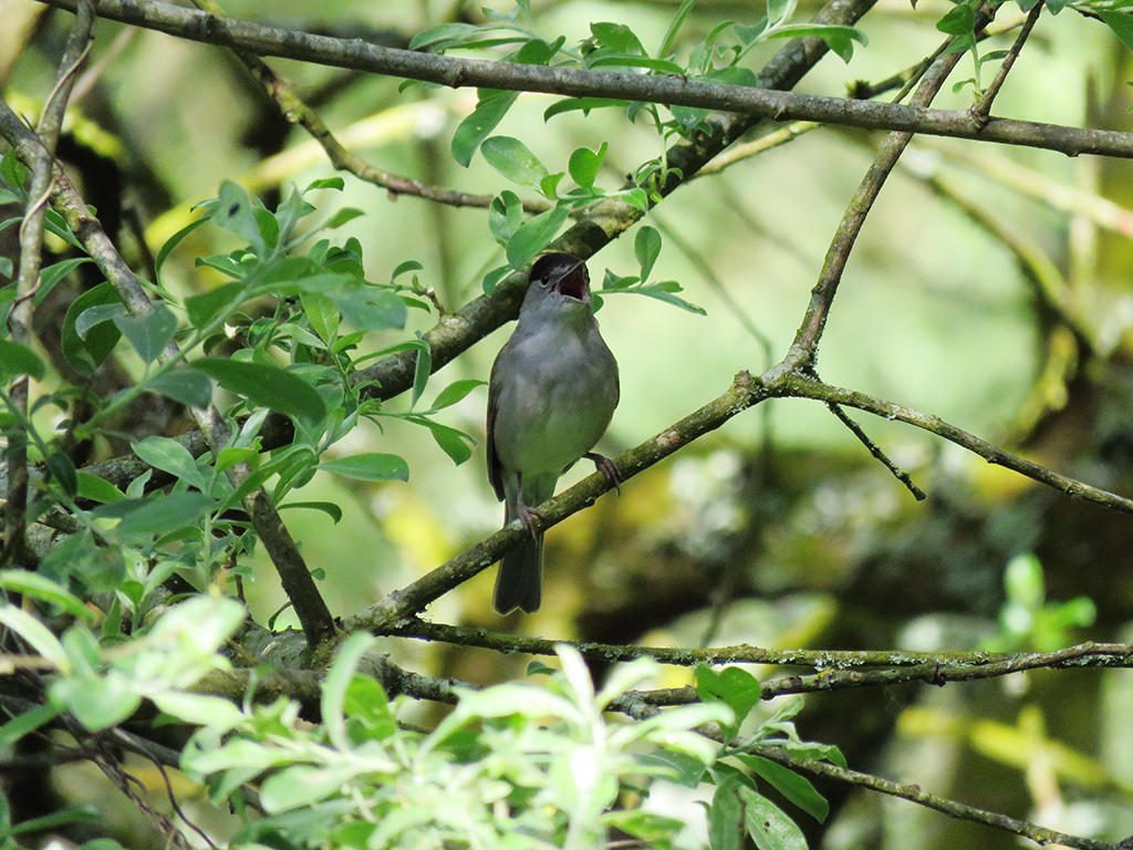
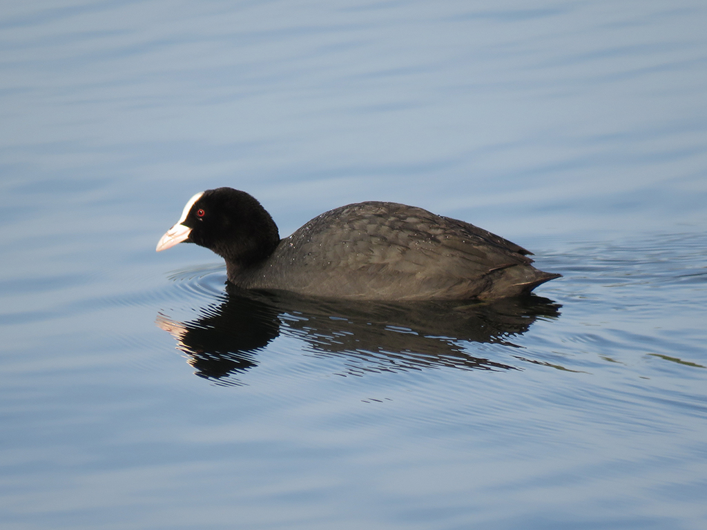
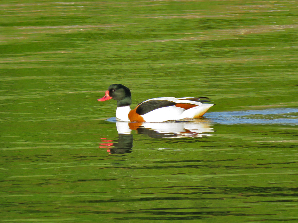
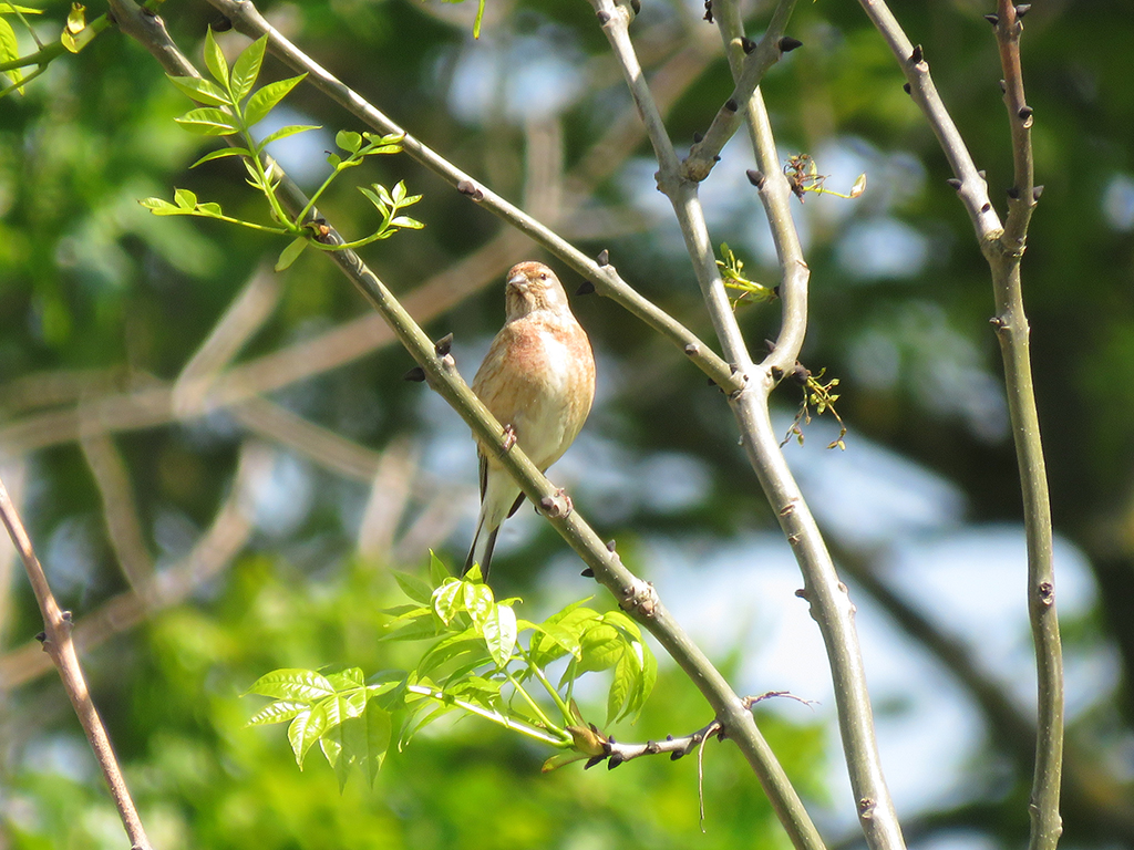
Posted March 22, 2020

May 22, 2019

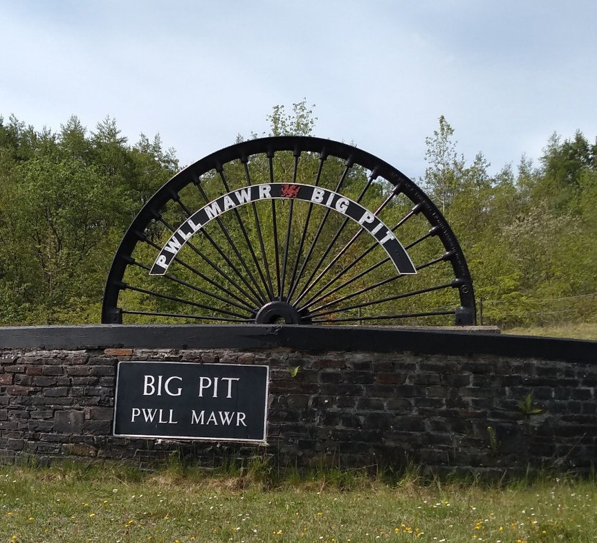
Our final “big day” on our UK trip was back to Wales and a tour of the Big Pit National Coal Mine in Blaenavon (that’s near Pontypool, if that helps?) [map]. Last active in 1980 after 100 years of operation, the mine is now run as a museum and national heritage site. Most of the tour guides are former miners who, along with their first-person accounts and in-depth knowledge of mining history, have become perfect ambassadors for their contributions to history.

Entry sign that says
What is a mine, after all?

Mrs. Lonely Birder’s family comes from a strong tradition of mining and related work in the coal regions of Appalachia. Generations of her family have worked the mines and even lived in mining camps and towns. These people are hard working and proud. There can be no denying coal’s importance to the development and transformation of modern life around the world. As we struggle to adapt to new power sources and new understandings of the environment, it’s all too easy to lump in the miners and the equipment operators and the truck drivers with the “coal industry” and bad mouth the whole lot. Fossil fuels are indeed responsible for as much negative transformation of the environment as they have been necessary for the advancement of modern technology. Even as that trade-off has become unbalanced and we recognize the need to move away from coal and other fossil fuels, we should not forget the debt we owe to the miners and their families for providing the power to live our relatively comfortable lives.

A toddler, wearing her father's mining helmet and partly covered in coal dust, sitting in her father's lap.
My father-in-law with his Coal Miner’s Daughter, in the early 1970s, West Virginia.

It was eye-opening to delve into the mine and see the conditions and equipment used through the 100 years of mining on-site. Some of the scenes depicted in the display spaces and videos would be instantly as recognizable to someone from West Virginia as Wales.

Photo display of Big Pit miners after their shift.

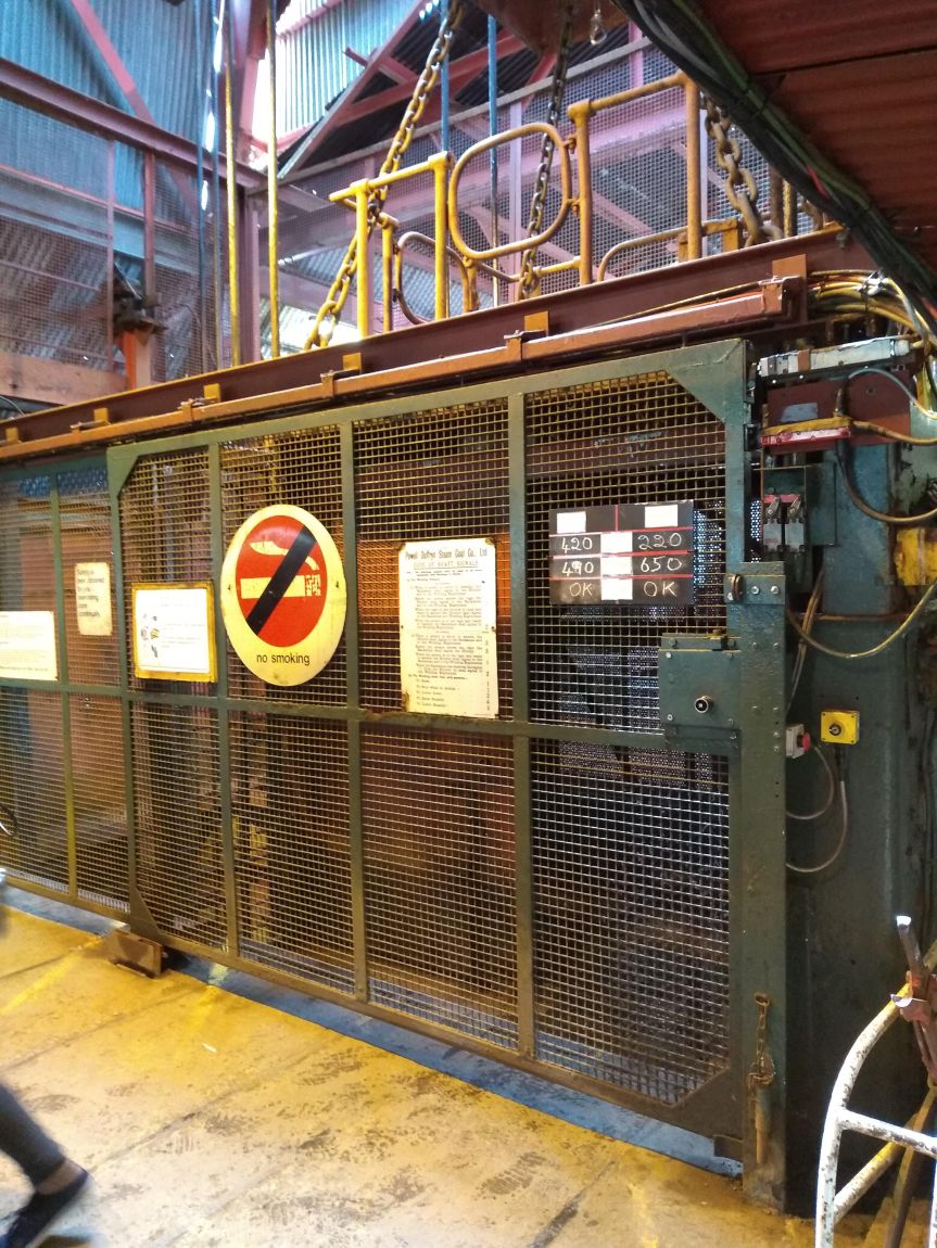
They did not allow any photos to be taken inside the mine. We rode the same cage (the large elevator) as the miners did when the mine was operational, and observed the same safety rules. Nothing was allowed down the mine that could generate any kind of spark. There was always the danger of natural gas or coal dust exploding, more then than now. But it’s better to be safe than sorry.

Mining elevator with a large No Smoking sign on it.
This cage (as the miners called the elvator), crammed with miners, was the only way in or out of the mine.

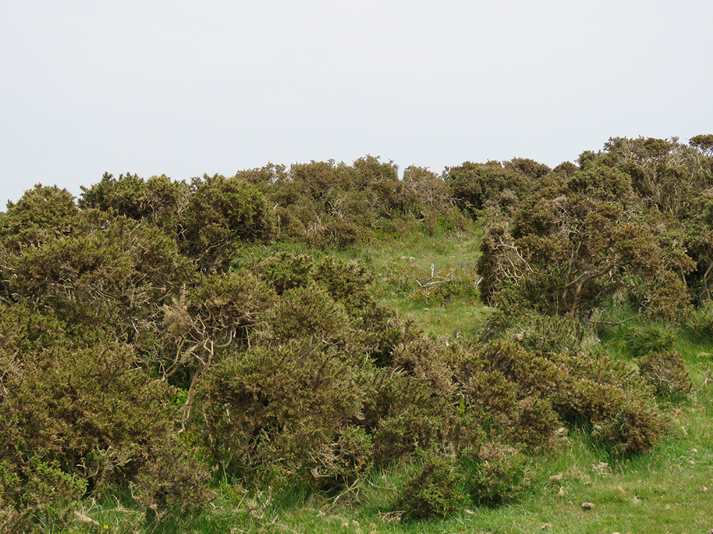
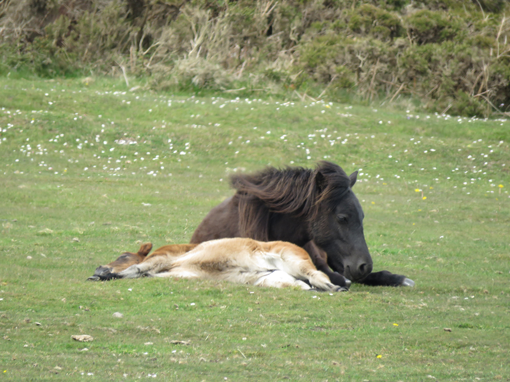
We saw some areas that were restored to a turn of the 20th Century set-up, with pit pony stalls and equipment. These ponies might not see the light of day for their whole lives once in the mine. That finally changed when mining safety and health regulations were changed and they were allowed on occasion to have a break and more humane treatment by the early 1900s. Human health and safety regulations were also updated. Child labor was common throughout the 18th and 19th Century coal mines, but eventually was legislated out.

A few more displays showed the working mine through the 20th Century, leading up to it’s eventual closure in 1980. By then, the mine was not profitable enough to keep open.

Intermission: Roast Ox Crisps

After our mine tour, I had one bit of unfinished business that I was finally able to complete on this trip.

Years ago my life was changed when my big brother and I stumbled onto the local PBS channel showing this amazingly violent (at least for its time) and hilarious comedy from the UK called The Young Ones. Think “The Three Stooges” meets “Monty Python’s Flying Circus,” and you’re most of the way there.

Cast photo of The Young Ones.
Neil (Nigel Planer), Rick (Rik Mayall), Mike (Christopher Ryan), and Vyvyan (Adrian Edmonson) – The Young Ones. Rik Mayall passed on a few years ago. R.I.P. (P)Rick!

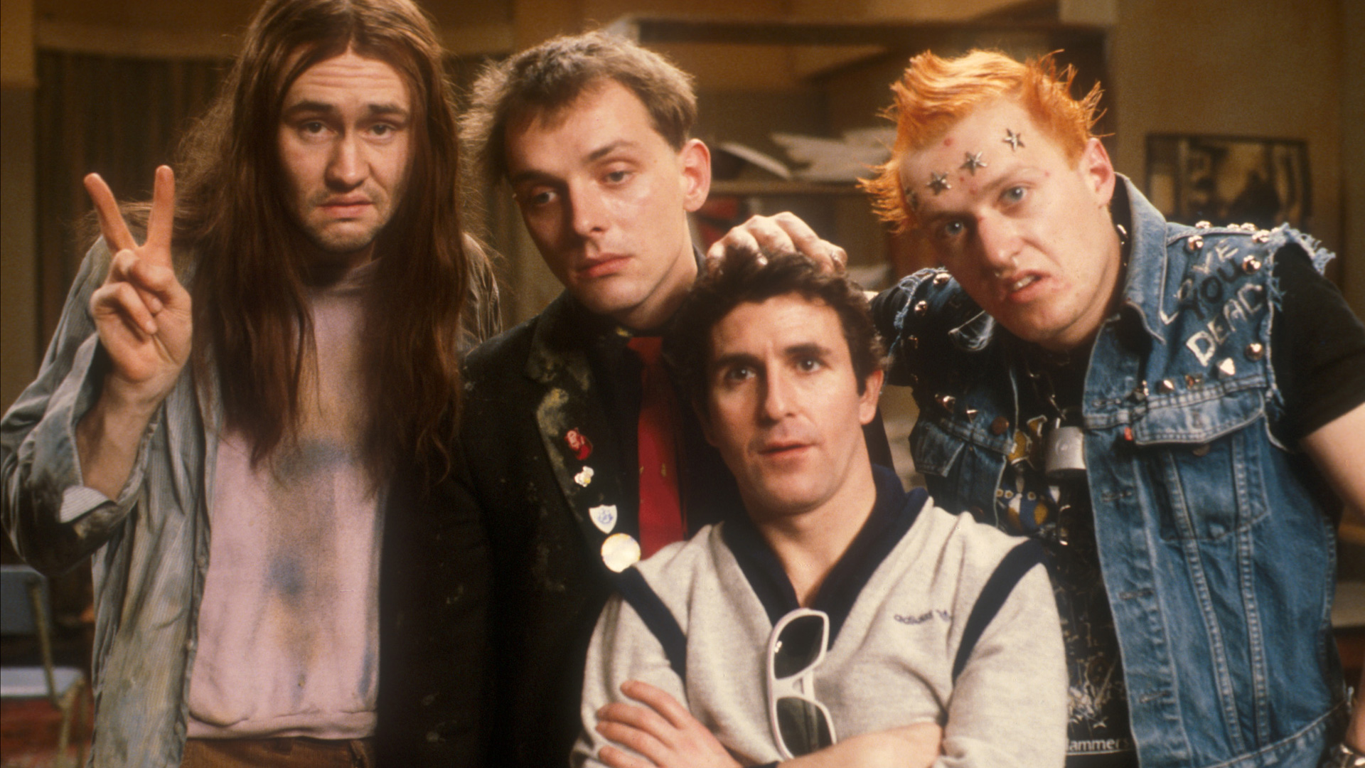
The show ran for 2 series in the early 1980s, and was important for introducing me to the band Motorhead during one of the show’s at-times random musical intermissions.

Rock band lead singer close up, wearing sunglasses and singing close to microphone.
The late Lemmy Kilminster with his classic shades and trademark mustache. Built for speed until the end.

One episode has the boys head to the local pub, where Madness is just finishing up a set. Vyvyan is about to go order their food at the bar, and Neil asks for something vegetarian so Vyvyan promptly orders a bag of roast ox crisps.

Imagine as a preteen in 1980s suburban America, where at the time the most exotic crisp (potato chip) was probably either salt and vinegar or if you lived near Canada, ketchup. Roast ox chips sounded so preposterous and amazing!

Fast forward to The Big Pit mine visitor’s cafeteria in 2019. I’d mentioned roast ox crisps during our trip and had been told by our friends that THEY DO EXIST! It took some time and hunting, but finally we found some in the snack bins. They were every bit as amazing and terrible as I had hoped!

A bag of roast ox crisps
“Oh, just a bag of crisps please, Vyv. But, not meat flavored. Because I don’t abuse my body and the world I live in.”

My friends and followers in the UK are probably wondering what the fuss is about. After all, there is a dizzying array of crisp flavors available there (like prawn cocktail and Worcestershire sauce). Only now is the US getting caught up, though the specific flavors differ (grilled cheese and tomato soup and roast chicken are fairly new here).

And We’re Back

After leaving the mine, we stopped in Newport on our way back to Bristol to check out the Newport Transporter Bridge [map]. This engineering marvel was built in 1906 as a means of crossing the River Usk, which had some specific challenges. The banks are low, but the span quite wide. A bridge needed to span the distance while allowing for ships to pass, and a drawbridge would be impractical. The solution was to erect two tall towers on either side and have a transport car, hung from above, operated by cables. This way, the transport car would be safely on the banks of the river while a ship passed.

Steel towers with a catwalk suspended by cables high above.
A view of the transporter bridge. The gondola is the light teal object near the bottom of the tower on the left.
Ferry gondola hanging beneath a steel tower.
Close up of the gondola, on the far bank.

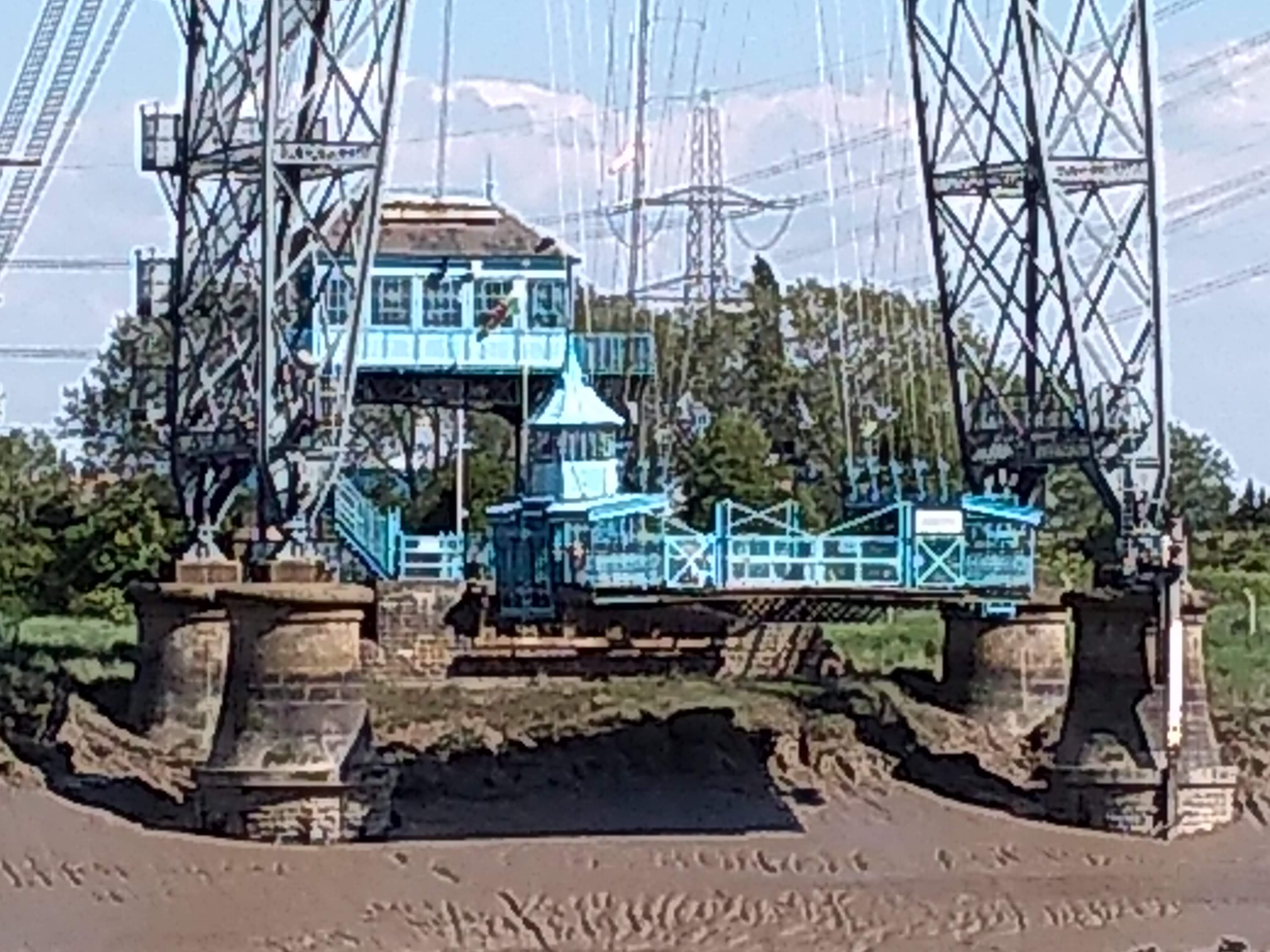
On the day we went, the gondola was closed for maintenance, unfortunately. But the towers and catwalk above were open. It’s over 60 meters (nearly 200 feet) to the catwalk, up an unrelenting set of stairs. Having spent most of the last 17 years in Florida, you can imagine this was no small task (in fact, it was a crash course in relearning hills and stairs for two weeks, since we arrived).

View of a muddy river and some industrial buildings in the distance.
A view of the river and surroundings from part way up the stairs.

The bridge is open to visitors and tourists until late afternoon, so we had to hurry up and across and back without much time to rest or take in views. Mrs. Lonely Birder opted not to make the climb, so the remaining three of us clambered up.

These catwalks were designed for maintenance, and allow access to the suspension cables and upper superstructure.

Looking along the upper structures of a suspension bridge and catwalk
I thought the bridge looked very well maintained for something over a century old.

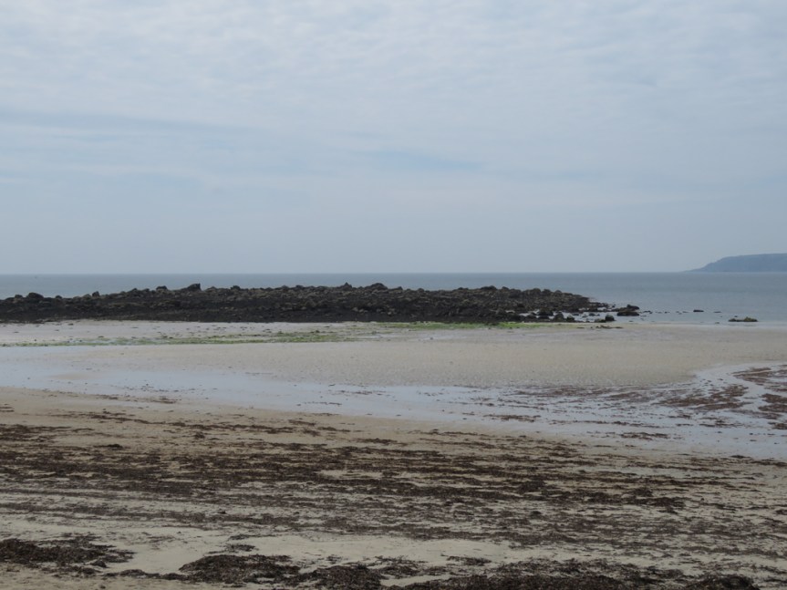
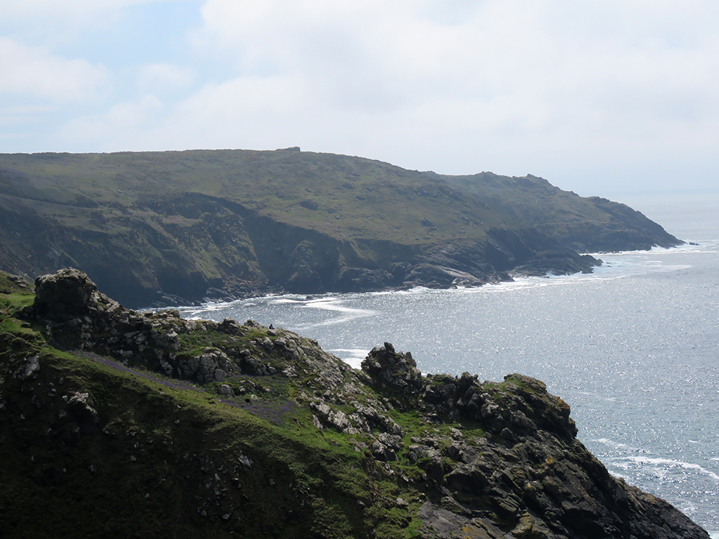
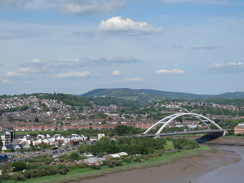
The views we did get from the catwalk were spectacular, and the weather was particularly nice.  The River Usk is a tidal river here, and you can see the tide was out, exposing a lot of mud near the river banks.

An arch bridge and buildings in the middle distance, a river in the foreground, and distant hills.
A river view and City Bridge, in Newport.
buildings and tress with rolling hills
Newport and the Welsh countryside beyond.

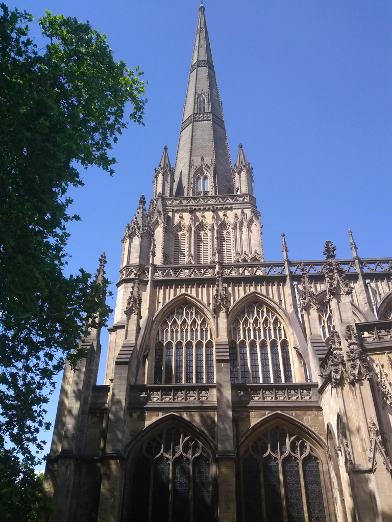
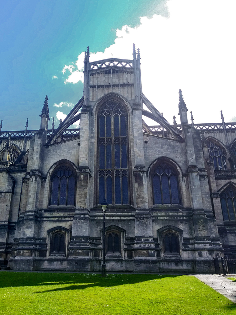
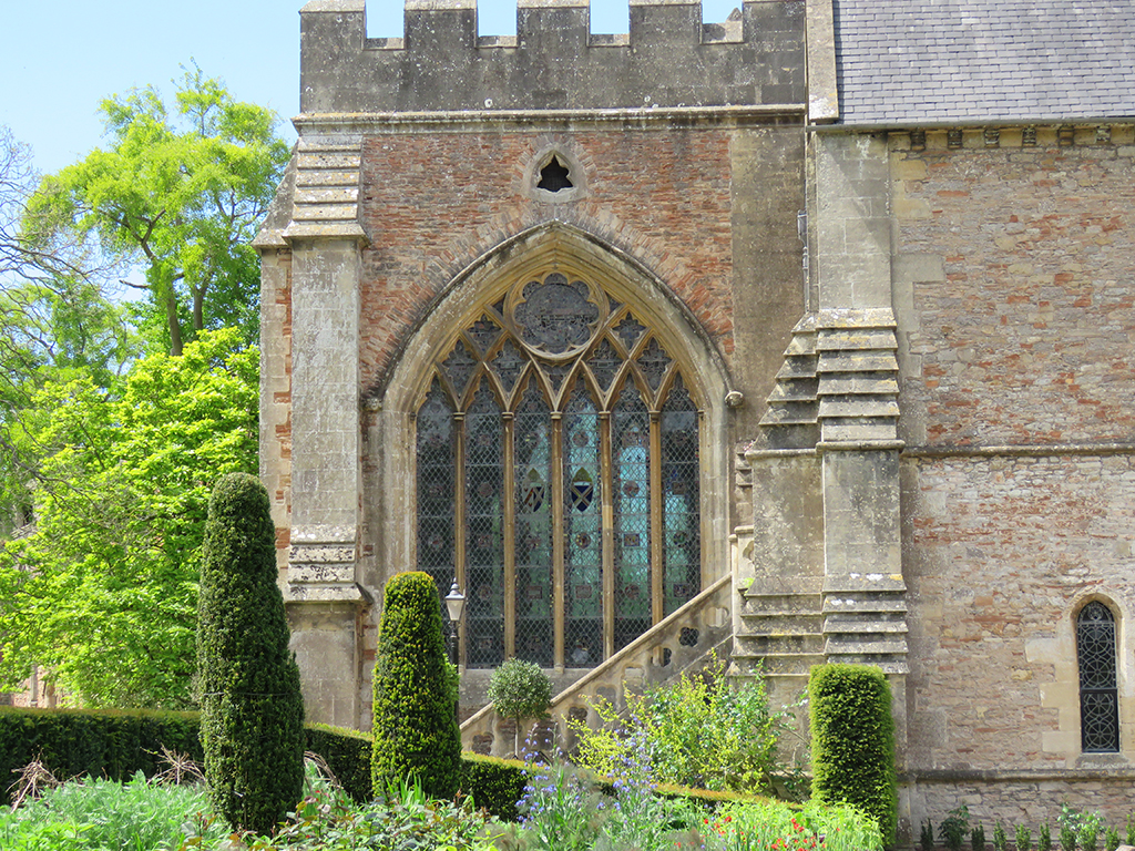
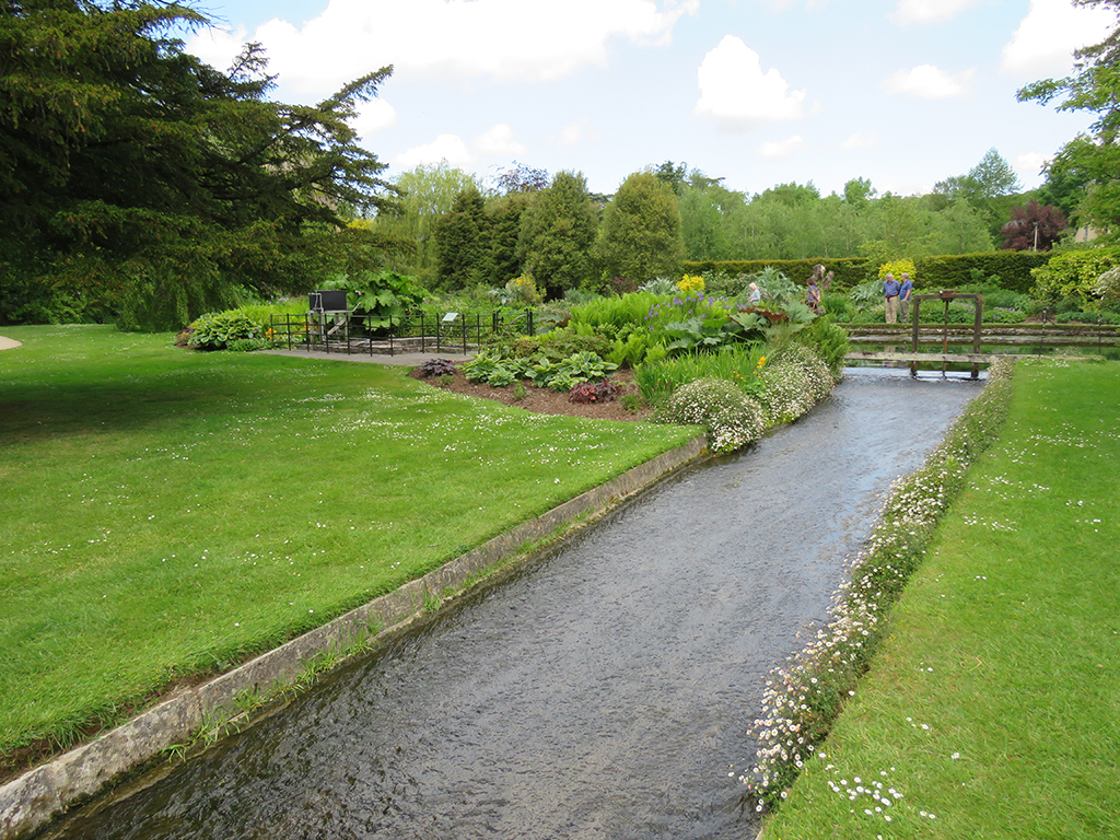
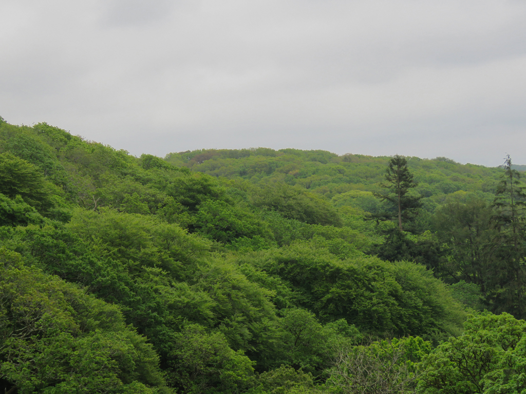
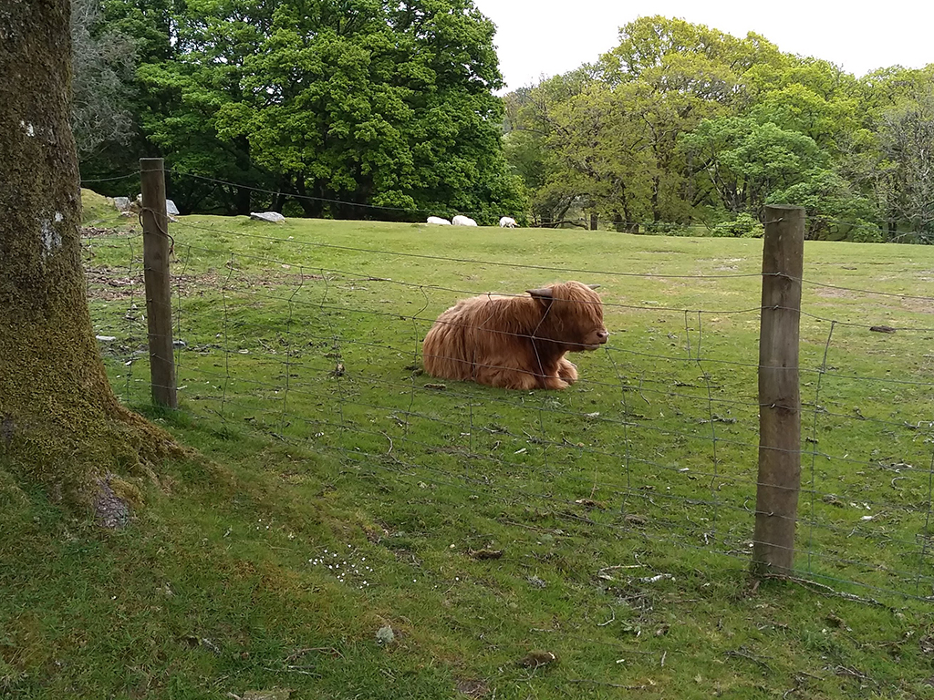
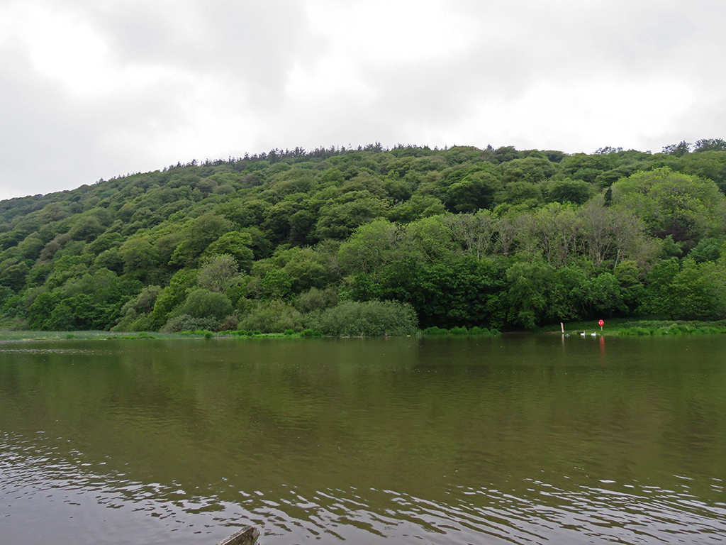
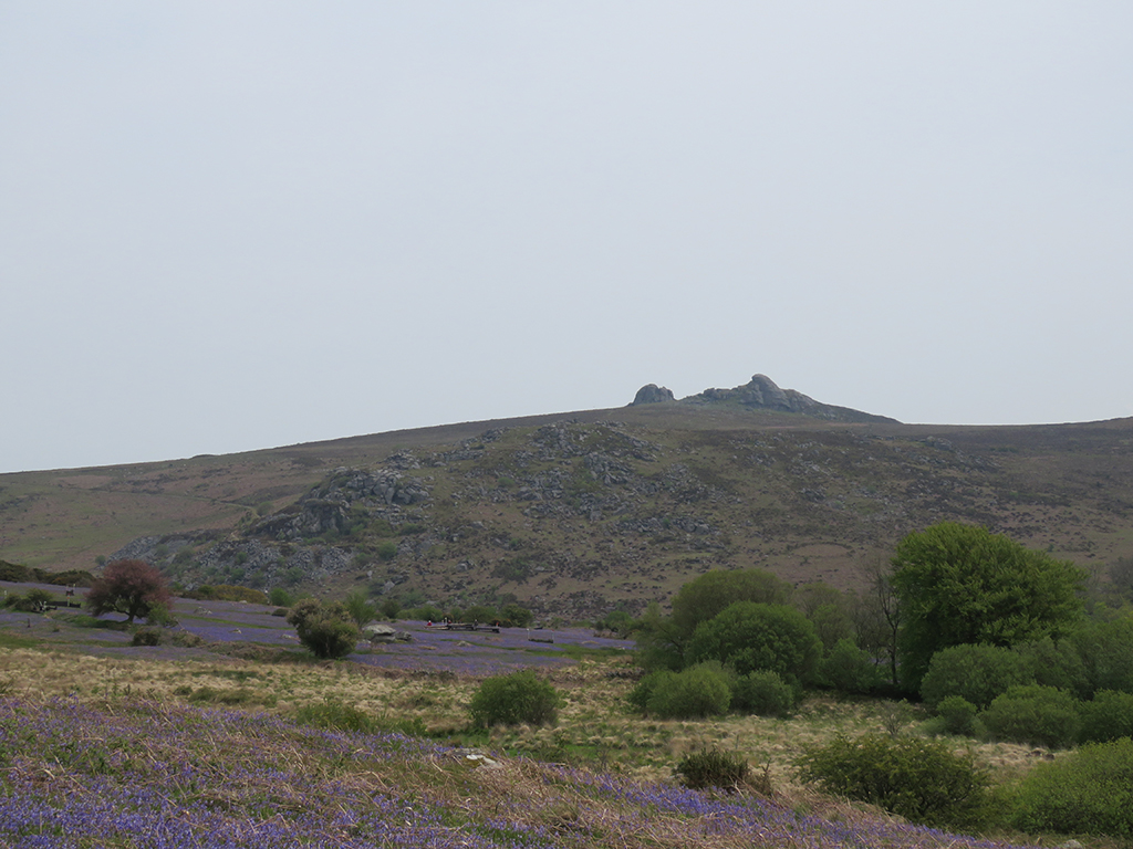
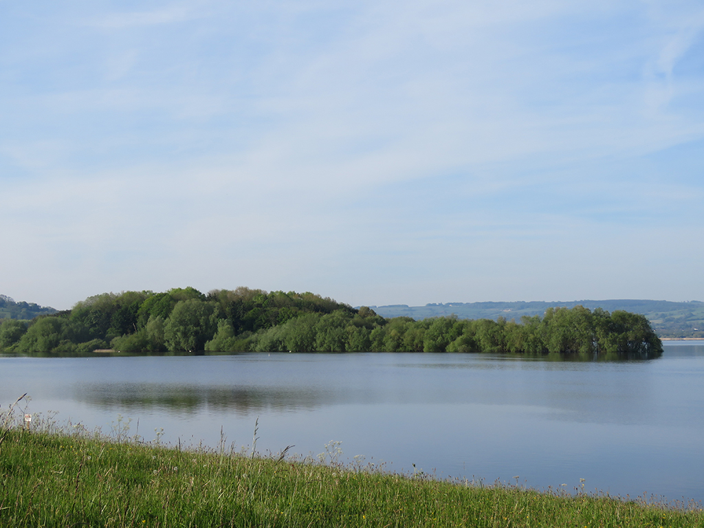
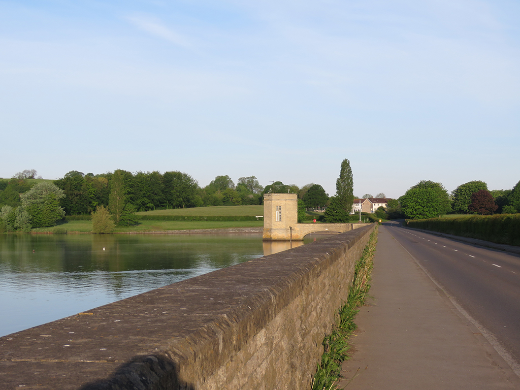
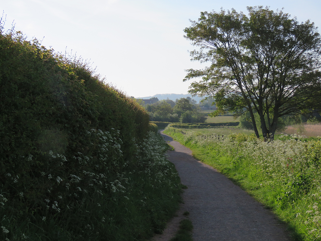
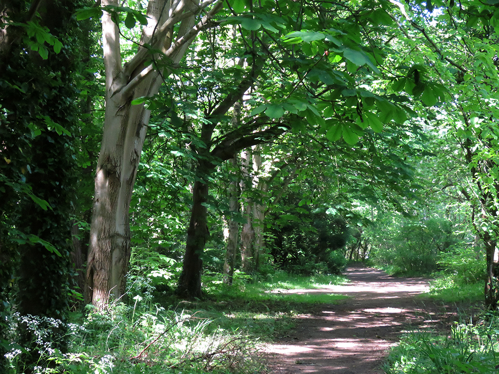
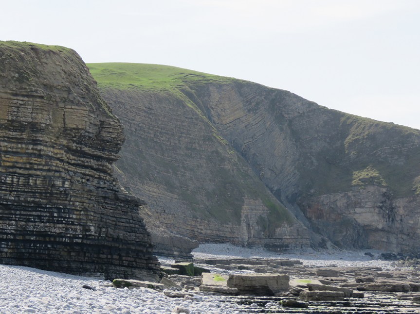
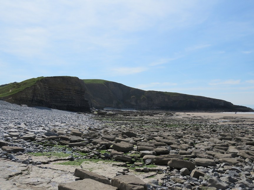
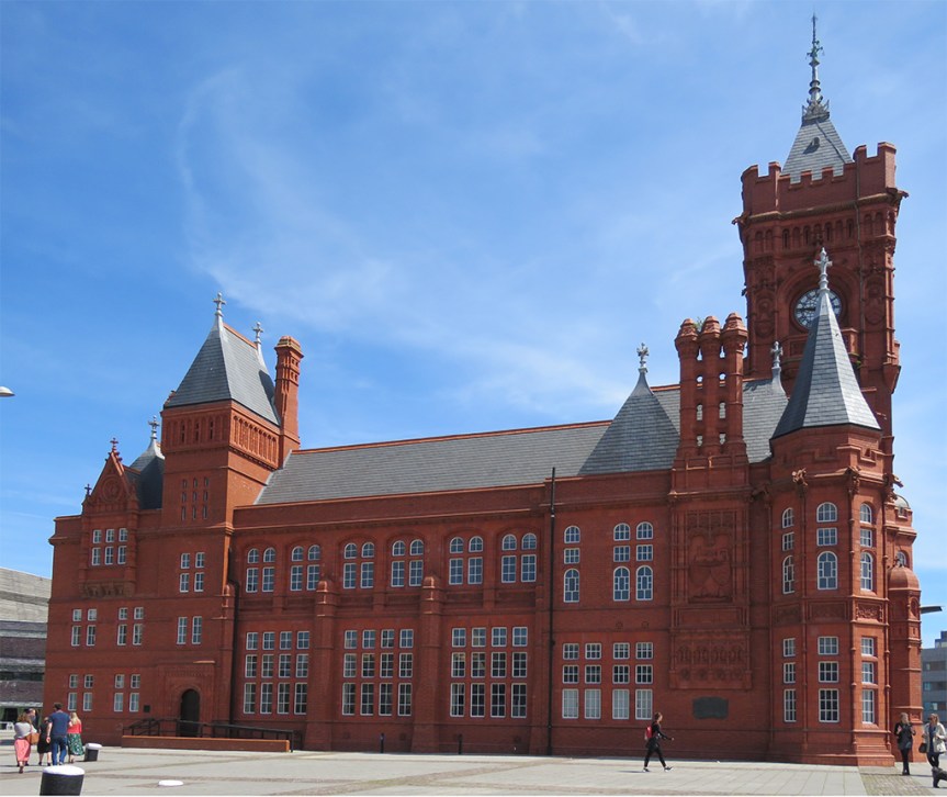
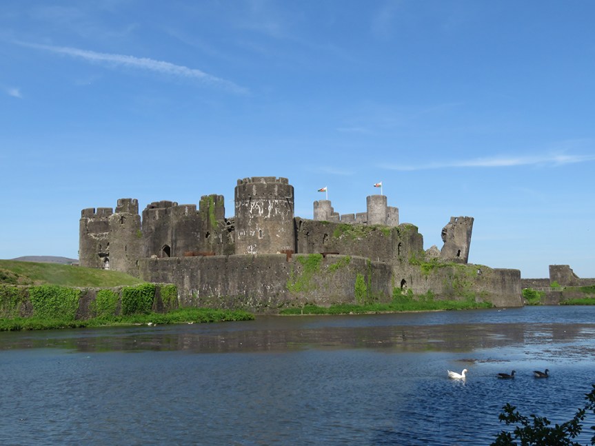
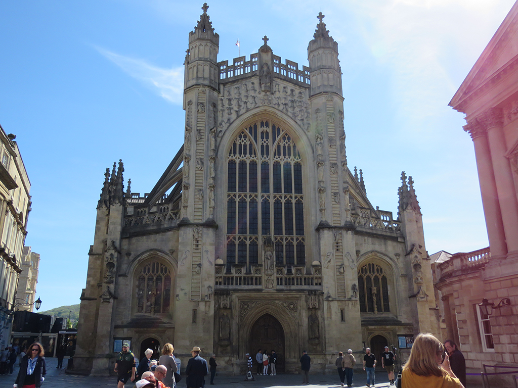
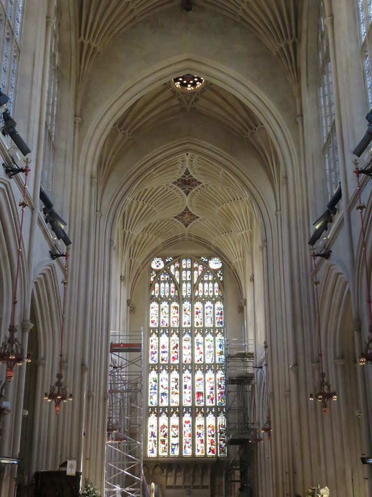
We managed to get back down to the visitor center in plenty of time, and had a nice chat with the person there before heading back to Bristol and getting ready for another evening and then another day. I think Wales is rather pretty, and if we get a chance to go back to the UK, I wouldn’t mind seeing more of it than we had time for. Diolch a ffarwel, Cymru!

UK 2019 Day 13: St. Mary Redcliffe

Posted March 1, 2020

May 21, 2019

After almost two weeks of intense riding around England and Wales (Darren and Ruth doing all the driving, bless their souls), we took a slightly slower day and focused on Bristol itself. We did have a lovely visit to the Bristol Museum [map], which is probably one of the better local museums, but decided to leave the picture taking behind. But the centerpiece was the church of St. Mary Redcliffe [map].

Gothic church with spire.
St. Mary Redcliffe is situated right inside urban Bristol, so there aren’t many clear overviews of it. This view is looking east.

This church building has been called the epitome of high English Gothic architecture, and it isn’t hard to see why. The ornate stonework and tracery, as well as the flying buttresses and the tall spire, mark this – one of the largest parish churches in England – a real stand-out. Queen Elizabeth I is said to have described it as “the fairest, goodliest, and most famous parish church in England.”

Stone church facade with tall arched winows and flying buttresses.
Part of the northern facade of the church. The tower and spire are just off to the right.

Inside, the church as a couple items of historical note. There’s a model of John Cabot’s ship, The Matthew, to commemorate his 1497 voyage to North America, as well as a piece of whalebone he brought back to England. We had visited the observation tower named for Cabot on our first day in Bristol. Cabot’s expeditions sailed from Bristol under the commission of King Henry VII.

Whalebone affixed to the interior wall of a church, by a stone archway.
Whalebone from North America, via John Cabot’s expeditions in the 1490s.

There is also a wooden carving of Queen Elizabeth I, dating from her reign (likely circa 1570). She is known to have visited the church in 1574, but I don’t know if the carving was already there, or done later to commemorate her visit. It is remarkably well preserved, though I suspect the paint’s been touched up now and then.

Painted wooden carving of Queen Elizabeth I
HRH’s likeness in painted wood.

The rest of the interior is quintessentially Gothic, with high, almost delicate looking arches and vaulting and exquisite stained glass. Much of the original stained glass was destroyed during the Reformation, but later replaced. Bombing in the second world war destroyed the glass on the west side, and was replaced again.

Church interior with high vaulted ceiling and stained glass windows at the far end.
A view along the nave toward the restored stained glass on the west side of the church.

That bombing could have destroyed the church, and a poignant reminder of that is a section of tramline (from a light rail system) that was blown up and onto the church grounds, where it remains today as a memorial and reminder.

Memorial plaque and tramline (rail) section stuck in the ground behind it.
This section of rail was left embedded where it landed after a German bombing in 1941. On Good Friday, to be exact. [Thanks, Mrs. Lonely Birder for the photo!]
St. Mary Redcliffe’s interior is stunningly beautiful and, like most Gothic churches, airy and open. It’s tempting when we hear “Gothic” and architecture of the Middle Ages (“The Dark Ages”) to think of heavy, dark, and oppressive themes. But on the whole, this church and the other medieval structures we saw during our visit, were more atmospheric and almost ethereal. The designers were building these spaces to evoke heaven and salvation, and that’s very much reflected in this church.

04_St-Mary-Redcliffe_04
Another interior view of St. Mary Redcliffe. The ceiling decorations are more golden than what shows up in this photograph, but really, no photos truly do justice to this amazing place.

As a final note to this spectacular church, the tall spire you can see today was finished in 1872. The original was destroyed in a storm – perhaps struck by lightning – in the 15th Century. For much of it’s existence, the church had short, truncated cone cap on its tower.

South_Porch_of_St_Mary_Redcliffe_Church,_Bristol_c.1791-2
This watercolor by J. M. W. Turner shows St. Mary Redcliffe with its truncated spire. It would be almost 80 years before the current spire would be built. Image copyright Bristol Culture.


13_St-Mary-Redcliffe_13
One final look at St. Mary Redcliffe and its spire.

We also visited the M Shed museum, though we took no photographs as some areas expressly forbade it, and we were so engrossed that we didn’t think of it! There were some interesting Banksy pieces and some great tributes to Bristolians and their city. If you visit Bristol, M Shed is a must-see!


UK 2019 Day 12: Part 2, The Bishop’s Palace and a Little Bite of Cheddar

Posted November 14, 2019

And we’re back!

We had a good look at Wells Cathedral in Part 1, so let’s continue on to The Bishop’s Palace.

May 20, 2019

24_Bishops_Palace_01
The palace has been extensively modified and added to over the course of 800 years, and is reflective of many architectural styles.
28_Bishops_Palace_05
Some parts of the palace are ruins or have been adapted, like this wall which now forms part of the enclosure for a large lawn space.

The grounds were fairly extensive, with opportunities to see many stages of development and abandonment. They also serve as space for art – both secular and religious – and even political expression.

Stature of a person in a tunic.
There were nice art installations – some religious, some secular – throughout the grounds.
Colored glass sculpture shaped like bird wings.
Stained glass wing sculpture (there were a couple of them).
33_Bishops_Palace_wings_10
MCU Falcon character reboot?

Many of the ruins on the palace grounds are at least somewhat intentional. As parts fell into disrepair, the structures were modified to be “more picturesque” as successive bishops and architects sought to mold the expansive ruin to their own ideals.

35_Bishops_Palace_12

The formal gardens and landscaping are indeed beautiful, and the views of the Cathedral itself are as worthy as any artistic masterpiece, in my opinion.

Stained glass arch window with topiaries in the foreground.
Looking in on the Bishop’s Chapel
A pond with evergreen and deciduous vegetation behind and water plants in the foreground.
Springs and gardens on the palace grounds.
40_Bishops_Palace_Cathedral_View_17
As optimally designed, this church would have a tall spire atop the central tower. Weather and fire have made all but a few lost over time.
Cathedral tower rising with the church in front of trimmed hedges and trees.
Another magnificent view of the cathedral from the formal gardens.

Similar to the city of Bath, Wells gets its name from the abundance of accessible groundwater and natural springs, many of which were harnessed or enhanced on the palace grounds.

Water feature with small waterfall flowing away and down into the gardens.
The small waterfall drops water down into a system of channels.
Channelized flow between manicured lawns.
Another formal water feature based on the natural upwellings.

The interior of the palace, including the chapel, is a progression and mixing of the various historical periods, spanning from the 13th century to modern day. In the essence of saving time, here’s a slide show of the interior shots.

This slideshow requires JavaScript.

Some interior shots of the Bishop’s Palace. Most of it is a museum and public space now, but the nearby Bishop’s House is still used as a residence and church office.

Both the church and the palace were immense and impressive, and it’s hard to portray the grandeur from these photos. With any impressive space, be it natural or human, it’s best to experience it in person. Hopefully that’s something that you can do one day, if it is in your means.

Ancient stone gatehouse with two turrets over a pointed arch entrance.
Farewell, Wells!

But our day was not over yet. We had some time to make an almost too-quick run to Cheddar, where we did buy and eat some “genuine” Cheddar Cheese, and make a brief drive up the gorge. Cheddar is a quaint village, and if we ever do return to the UK, I’d like to spend a little more time there.

Old stone storefront and wall.
The village has many quaint shops and picturesque views.

The waters that carved the gorge and associated caves is the Cheddar Yeo, and it emerges above ground in the village. It’s been a traditional source of power for centuries.

Shallow stream running toward the foreground alongside a stone wall.
The Cheddar Yeo, emerging in the village of Cheddar. Part of an “Excalibur” sword, for tourists has surely rusted in place by now.
stone walls topped with herbaceous plants lead into a village.
A pretty view of the village and the animal sculptures in the channelized water feature.

We did some window shopping and I bought some local fudge before we headed back to Bristol for the evening, having had another full and satisfying day out with friends.

UK 2019 Day 11: Birding Day at Slimbridge Wetland Centre

Posted August 19, 2019

May 19, 2019

Since my planned birding day near Plymouth didn’t work out, I took Darren’s advice and checked out the Slimbridge Wetland Centre (also referred to as “Wildfowl & Wetlands Trust”) in Gloucestershire [map]. There’s a lot going at this remarkable place, but for birders (particularly out-of-country ones!) it was a bit confusing. The first part, near the visitor center, is a series of exhibits showcasing birds from around the world, including local birds! And although these birds are ostensibly “clipped” to keep them from flying free, I observed on a few occasions these birds making short flights that could carry them out of their “enclosure” habitats. I’ll post my eBird link after the photos (presented without commentary beyond captions), but take some of the duck and geese species with a grain of salt. I tried to weed out the “captive” species, but there may be a few of the ambiguous sightings that got left in.

Black and white duck with a dark purple head.
Tufted Ducks were not rare during our entire visit, but photo opportunities of this species were. This one was at the visitors’ centre, but should be representative of the many I did see out in the wild.
Small white gull with a dark brown head.
Black-headed Gulls are possibly the only – um – black headed gulls without black heads. It is actually a dark chocolate brown. I’ve seen this species as a vagrant in the USA, but this is a native, free-flying bird.
Mostly white duck (with some black on face and back).
The Smews at the visitors’ centre seemed captive, but a few of the birds flew to adjacent pools, so I listed these, but perhaps I shouldn’t have. I’ve not heard anything from the eBird reviewer on the matter. This one is a drake.
Grey duck with a white throat and russet head.
Female Smews are much different looking than the drakes (males).
White duck with a black back and greenish head, a brown headed duck behind it.
Common Goldeneyes are also seen in the USA, this pair were at the visitors’ centre, but I saw some flying out in the marshes later in the morning.
Mostly white duck (with black face and back) standing just behind a gray duck with white throat and russet head.
A Smew couple on land.
Large black bird with a gray face and bill.
Rooks are common enough around the UK, and the ones throughout the park were quite photogenic and accommodating.
A orange-red duck with a white head and black bill and tail.
Like some of the other duck species, Ruddy Shelducks were at the visitors’ centre pools (like this) and out in the wetlands, too.
Brown bird with cream belly perched on reeds.
Waterfowl dominated the visitors’ centre, but once out in the park and on the trails, there were more songbirds, like this Reed Warbler.
Small brown bird sining, perched atop twigs in a dead tree.
The tiny Eurasian Wrens made up for their size with loud, ringing voices. The song is reminiscent of Song Sparrows in North America. This caused me a deal of confusion throughout the trip.
Brown, black and white shorebird with 2 head streamers, walking on a mudflat.
Photos out over the marsh and meadows from some of the blinds were tough. This shot of a Northern Lapwing and many of the upcoming shots are heavily cropped.
Black and white wading bird with an up-swept bill.
One of about a dozen or so Pied Avocets feeding in the shallow water.
White wading bird with a spoon-shaped bill in front of tall marsh vegetation.
While not listed as particularly rare, this Eurasian Spoonbill seemed to be causing quite a stir among the other birders at the blind.
Small gray bird with a red-orange face and breast.
In the wooded area near one blind, I saw this one-legged European Robin. It seemed to be managing fine, but I wonder what happened.
Small turquoise bird with orange breast and belly and long bill.
At the next blind, it took some patience to wait for one of the Common Kingfishers to arrive back at its mud bank cavity nest site.
Large black bird with gray face and bill.
Another handsome Rook. This one was near some picnic tables, looking for an easy snack from the park patrons.
Close of of a black bird with gray face and bill.
A close-up of a Rook. It’s thought that the partially naked face is due to Rooks being opportunistic omnivores, not ones to pass up carrion. Like vultures, this avoids facial feathers being fouled by blood and such.
Black and white goose sitting among daisies.
Back at the visitors’ centre, this Barnacle Goose flew in and landed on the lawn to rest.
An adult swan keeps one eye on a nearby coot while watching its little gray cygnet swim along.
Many of the birds at the park (including the visitors’ centre) are breeding and had chicks, like this Mute Swan and its cygnet. This is one reason it is difficult to completely exclude the exhibit birds from lists. They are obviously breeding and some are flying about.

I’ve left off photos of some of the more exotic birds – like the Nene, a South American bird called a screamer (for good reason!), and some others that are clearly not UK or European birds. I may post them as bonus or extras in the future.

Here’s the somewhat confusing eBird list for the day. Ruth and Mrs. Lonely Birder came to pick me up after shopping in nearby Gloucester.

https://ebird.org/view/checklist/S56496450

UK Day 10: Marazion and the Cornish Coast

Posted August 16, 2019

[Note: I realize it’s taking me some time to get through these posts. Please bear with me. It’s been a hectic summer]

May 18, 2019

Continuing our travels along the south coast of England, we drove back through Cornwall and to the ancient village of Marazion [map]. Off shore on the island of Saint Michael’s Mount is a castle and church that can be visited by foot during low tide. When the tide comes in, the causeway is submerged and the mount is only accessible by boat or amphibious vehicle.

Castle atop a wooded island off the coast, a beach in the foreground.
A view of Saint Michael’s Mount, looking at the harbor side.

The beach itself is quite flat, and when the tide is out one can wade quite far in places. A beach like this would be stacked with people, blankets, chairs, and fishing poles back home in Florida. Here, the beach was mainly empty, with people enjoying sea views from benches, restaurants, and shops from the village.

Rocks beyond a sandy beach at low tide.
You can see how wide the beach is, and the waters beyond were quite shallow.

The castle and chapel are impressive, even at a distance and I imagine the views commanded from this vantage-point are impressive. People do live and work on the island, and an order of monks is active at the chapel.

Close-up of a castle and chapel.
Part of the castle and the chapel atop Saint Michael’s Mount.

The main part of the island was gated and closed, which seems a shame as there are extensive gardens and a museum I would have liked to see. I hear the geology is unique and impressive as well. But it was a lovely diversion nonetheless, but we couldn’t stay long as the tide was about to come in, which threatened to strand us on the island (or at least have to hire a boat) as the causeway would be inundated.

Stone archway with a metal gate at the end of a low stone wall.
Access denied. Sorry to have to go, Saint Michael’s Mount…

Meanwhile, back on the beach…

Small metal sign bolted to a rock wall that says, "DO NOT FEED THE SEAGULLS THEY ARE DANGEROUS AND A HEALTH HAZARD"
Forewarned is forearmed?
Herring Gull standing on a rock.
Aw, this Herring Gull looks harmless!

We walked back to the beach and then into Marazion, and had lunch at a cafe that had some local fare, known as a pasty. Pasties are a pastry filled with meat and root vegetables. Traditionally, they were miners’ food. The thick crust around the edge serving as a handhold that wasn’t normally eaten since the miners’ hands might be contaminated by arsenic or other poisonous substances related to mining.

A pasty on a plate, waiting to be devoured!
Lovely pasty! (Thanks, Ruth, for the photo!)

From Marazion we worked our way west along the coast until we reached the ruins of the Botallack Mine, not far from the town of St. Just [map].

Three windmills in a filed beyond the hedgerows.
Windmills are perhaps the most visible sign of how the UK has moved away from coal generated power. While we were there, the country had just had of a couple of weeks were no coal at all was used!

This stretch of coast has to be one of the most dramatic and impressive sights we saw in our whole trip. The juxtaposition of the natural beauty of the rocky coast and dramatic cliffs with the many abandoned mining structures makes for a nearly unparalleled visual experience. Add in the roar of the waves on the rocks below and the wildflowers blooming, and you can imagine what an experience this was.

Stone ruins among rocky pastures.
The remains of the mining engine houses from the Botallack Mine.

As we approached the cliffs, a low fog was dispersing along the coast, which made the scene even more fantastical.

Rocky outcrop and cliffs over a misty ocean.
In ways, this landscape seemed a convergence of the sea cliffs we saw in Wales, the flowers and grass of Dartmoor, and the ruins of Minions. Very England.

Seabirds were circling below (Northern Fulmars, as it happens) as waves and foam churned on the rocks. We were only able to walk so far down along the cliffs due to trail closures for safety.

Stone ruins on a cliff, next to the ocean.
From these structures, miners actually tunneled under the seabed up to 1/2 a mile (800 meters) to get the valuable copper ore, even breaching the ocean, flooding the mines.
Churning waves and foam on rocks below, looking down an sea cliff.
It would be hard to find any safe harbor approaching this part of the north coast of Cornwall.

The scope and scale of the cliffs are hard to grasp from photos alone. They are hundreds of feet high, some with very narrow places to walk out on. The lingering fog helped confuse the distance cues a bit, but added to the drama.

Rough rocky coastline with mining ruins in the background.
Most of what we saw in the UK was spectacular and I’d trade none of it, but Cornwall definitely stole a bit of my heart.

We were very near both Penzance and Land’s End, but we stopped at neither. On a future visit I would like to spend more time in this part of England and take it all in, natural and human.

Rocky peninsula backdrop with cliff top in the foreground..
Darren says this is looking toward Sennan Cove, and Land’s End (beyond).

We spent some time marveling at the scenery before climbing back out, past the mining houses and the furnace ruins, looking up at smokestacks that seem to defy gravity and the elements.

More stone ruins and a tall stone smokestack on a cliff top, with two people (looking quite small) standing nearby.
Here’s more sense of scale: The two small vertical objects on the left are people standing on the cliff edge.

As we made our way back toward Bristol, we crossed into Plymouth by way of the Torpoint Ferry, rather than the bridge. It was fun.

A car ferry crossing the river.
Two boats run, one in each direction, and both were full. Photo thanks to Mrs. Lonely Birder.

Mrs. Lonely Birder and I got out of the car and went up on the deck and enjoyed some fresh air and a look at a few Royal Navy Ships. The ferries run on cables between both sides which is a safer, if more boring option for ferries ;-).

2 naval ships across the harbor.
Some Navy ships in the harbour. Photo thanks to Mrs. Lonely Birder.

We eventually got back to Bristol and walked to the local pub (The Knowle) so those that imbibe could have a pint and we unwound a bit. On the way there, we passed some trees that have been decorated like fairy homes!

small fairly door and window on the base of an urban tree by the sidewalk.
We didn’t knock to see if anyone was home. Photo thanks to Mrs. Lonely Birder.
Urban tree decorated with eyes, nose, and mouth.
This tree ended up looking a bit Entish, if you ask me. Photo thanks to Mrs. Lonely Birder.

We ended the day out at the pub, in which Mrs. Lonely Birder saw a familiar friend, reminding us of our previous epic trip to Churchill, Manitoba! I’ll leave you with a couple of parting shots.

Pub building, red brick and white trim. Sign says "The Knowle".
The local pub. We didn’t stay long, but it was sort of a checklist item of ours. Cheers, mate!
A drawing of bears framed on a wall, person pointing to Polar Bear with one hand, holding a pint of ale in the other.
It was pure cool to have a Polar Bear drawing by our table, linking our life-time trips together!


UK 2019 Day 9: Cornwall and Back to Dartmoor

Posted August 2, 2019

May 17, 2019

After a night in Plymouth, our adventures took us further afield into Cornwall and Bodmin Moor [map]. Driving past the ever present windmills and fields of the English countryside, we first stopped at a pair of stone monuments. These would have been the bases for wooden crosses, one of which bears an inscription commemorating King Dungarth (Doniert in Latin), the last King of Cornwall who is purported to have drowned nearby in 875 AD.

Ancient memorial stone with a Latin inscription. A stone wall is in the background.
King Doniert’s stone is one of two “cross shaft fragments” that were raised upright during excavations in the 19th Century.

According to English Heritage, the Latin inscription on the shorter stone (Doniert’s) is translated as “Doniert has asked [for this to be made] for his soul[’s sake’]”.

The taller fragment has no commemoration, but its proximity to King Doniert’s stone and the discovery of an underground cross-shaped tunnel beneath the stones indicate this was an important early Christian site in the 9th Century.

King-Donierts-Stone_02
This stone fragment is quite a bit taller, but bears no specific inscription. Both stones are easily accessible on the roadside and the stone enclosure shows evidence of cows and sheep using the area to graze.
Two stone monuments on grass enclosed by a stone wall.
These sides of the stones seem more weathered and eroded.

From these ancient memorials, we made our way along the southeast edge of Bodwin Moor to the village of Minions. In this post-Despicable Me world, it was all too easy to snort-laugh and bring images of Gru’s mostly loyal underlings to mind. It seems to be a common enough thought.

Road sign with a 30 (miles per hour) indicator on top. The sign reads,
I don’t know if the stickers were sanctioned or not, but I suppose it was inevitable.

The biggest attractions here are The Hurlers stone circles and a natural landmark called the Cheesewring. The Hurlers are a set of 3 remnant stone circles and a pair of stone markers (“The Pipers”) from the Bronze Age. Many of the stones have been eroded away or “borrowed” as building material through the centuries.

The-Hurlers_01
The exact age of these stones is uncertain, but they are clearly ancient and well weathered. Some have suffered the effects of close-grazing cattle, which helps weaken the stones’ bases, causing them to tumble over.

The three circles are nearly in alignment and thus likely intentionally related. The local legend has it that the stones are in fact transformed men who dared to play the ancient game of Hurling on a Sunday and were cursed. It must have been some game!

Cows grazing among monument stones and a granite outcrop in the background.
More stones with cattle grazing and the Cheesewring in the distance.

Close up, the stones are placid, yet evocative of ancient and mysterious cultures and beliefs. Through the ages people have ascribed all manner of mystical energies associated with stone circles, and it’s easy to see why. It’s awe inspiring to see this ancient handicraft, abandoned yet so accessible.

The-Hurlers_04
One of the taller and more intact stones.
Three standing stones in a field with distant rolling hills in the background.
Looking out from the center of one circle to a trio of stones.

Nearby the stones were several building ruins. These used to house large steam engines, which helped drive pumps to keep water out of the mines as well as circulate air.

Stone building ruin with a smokestack attached to the left side.
One of the mining engine houses. This is a not-uncommon sight in much of Cornwall.

Much of the area beneath the Hurlers consists of mining tunnels, and some of the rumpled appearance of the landscape is due to subsidence. It’s unlikely one would simply drop through the ground casually walking, but it was perhaps best practice to avoid any obvious “dips” or potholes.

Stone building ruin with the smokestack on the right side.
This ruin serves as a small local museum, but it was closed while we were there. These sites are well preserved as a part of England’s heritage.

It’s nearly impossible to separate mining from Cornwall, or indeed much of southwest England and Wales. Just about every site we visited had evidence of mining from the 18th through the 21st Century.

After taking our fill of the Hurlers, we made the hike up Stowe’s Hill toward the Cheesewring, one of several granite outcrops sculpted by the wind over countless years. These are not artificial structures.

Granite oucrops along the top of the ridge of a hill.
The Cheesewring (on the right) is the more prominent of several natural artifacts that make up the tor on Stowe’s Hill.

The Cheesewring gets its name from it’s somewhat similar appearance to cheese slabs that were pressed in its namesake device generations ago.

Granite outcrop with a person standing beside it.
Here you can see Darren standing by the Cheesewring, for a sense of scale. The small stack of stones just in front of him was placed there as a potential aid should the larger stones fall over – it is not actually touching the Cheesewring.

The top of the tor overlooks the countryside and some well used granite quarries. Darren says that a lot of the granite here was used in London, particularly for Tower Bridge. The top of Stowe’s Hill provided us with some good vistas, despite the ever threatening rain showers and obscuring mist.

Pastureland and moorland with mist obscured hills in the background under a leaden sky.
The view from Stowe’s Hill overlooking Bodmin Moor.

As with most of the rural sites we visited, cattle and sheep have free rein and are grazing just about everywhere. There was evidence of grazing all the way to the top of Stowe’s Hill and right around the Cheesewring and the other outcrops.

A lamb laying on grass, its head up.
A lamb resting, unconcerned with our proximity. Most of the ewes we saw had lambs with them.

We made our way back to Minions and (after meeting back up with Ruth, who had some other business to attend to) drove back to Devon and onto Dartmoor. We stopped at the Two Bridges Hotel (in the village of Two Bridges, where else).

Tea, as you may not know, is actually a light meal in Britain, not just a hot beverage. A Cream Tea is tea served with scones, clotted cream, and jam. We had heard a lot about this from Ruth and Darren, but unwittingly stumbled into a long running feud between Devon and Cornwall.

Tray of scones with bowls of clotted cream and jam. A teapot in the foreground.
I’m hungry again just looking at it. My wife took this and the next photo.

According to those from Devon, the “proper” way to have Cream Tea is to split the scone in two, spread the cream first and then put the jam on top. The Cornish way is to put the jam on first and then spoon the cream on top. Ruth is a proponent of the Devonshire method while Darren prefers the Cornish method.

Two scones on a plate with cream and jam.
Whether the Devonshire way (bottom) or the Cornish way (top), our Cream Tea was fabulous.

There was much good-natured jibing, and I have to say I preferred the Cornish way (you get more of the cream taste that way), but no matter how you take it, this was a real highlight of the trip for me. Plus, my hot chocolate (in lieu of the tea and its caffeine) was amazing as well.

With full bellies we made our way back out and drove further into Dartmoor, making a stop at picturesque Postbridge and its medieval clapper bridge. Clapper bridges are simple slabs of rock placed across a river to cross it. In this case, two piers of stone were placed as supports.

Stone bridge over a river under gray skies.
The East Dart River flowing beneath the clapper bridge. Photo taken by my wife.

The adjacent roadway bridge was beautiful as well.

A stone bridge with three arches over a swiftly moving stream.
The roadway bridge over the East Dart River.

While we were admiring the view (and I was passively birdwatching), I noticed some commotion. A woman had been trying to rescue a Common Kingfisher and it had tried to get out of the cardboard box it was in and had fallen into the cold water below.

Small kingfisher (bird) floating along the river.
This Common Kingfisher was in distress. I though maybe it was a fledgling given the relative shortness of its bill, but I don’t know the species well enough.

A traveler who was hiking his way along the river immediately waded in and scooped up the bird, which was now shivering with cold, and the woman asked if we knew anyone who could help. I suggested any local wildlife rehabilitators, and she said she had tried and had no luck. Her intention was to dry and warm up the bird and give it time to recover and then release it. We wished her luck and thanked the man, who went on his way, wet and cold himself.

There were other interesting birds by the river as well, including a White-throated Dipper, gathering invertebrates of some kind, likely to feed its young. Dippers are fun little birds. They are adept at running along the bottom of fast moving streams, often completely submerged in pursuit of prey. They can also dive and swim quite well.

A small bird standing on a rock by the water. It has insects or worms in its beak.
A dipper foraging beneath the clapper bridge. You can just see the long grappling claws it uses to keep anchored to rocks, especially under water.

Another short drive brought us to Burrator Reservoir on the River Tavy and a nearby nature trail. Burrator provides some of the drinking water for Plymouth and surrounding places.

Deciduous forest canopy with a couple of tall pine trees.
The area right around the dam is wooded with a tight canopy.

It was quiet around the reservoir with not much traffic and the weather was calm, and the sun had peeked out every now and then.

Burrator-Reservoir_02

We made our way along a trail after passing a small but beautiful waterfall and cascading stream. The sound backdrop was serene and almost idyllic.

The vegetation here seemed well suited to damp weather, with many of the older trees covered in moss.

And old and gnarled tree, covered in moss.

As we walked the ground gently rose as we make our way up onto the moor. Even here, there were cows grazing and resting in fenced off fields. In Britain, the concept of conservation is a bit different than here in the States. Here, the usual focus of environmental conservation revolves around preservation or the return of the landscape to some idealized natural state. In Britain, the majority of conservation efforts involve preservation of rural landscapes, such as farms, villages, and grazing lands.

Shaggy-haired cow, resting in a filed behind a wire fence.
This shaggy-haired bovine had a very 60s mop-top vibe about it.

All the while we were walking up the path, birds were singing and darting in and out of the trees. This included Willow Tits (differentiated by their song), Coal Tits, and quite a few songs I could not identify.

Close-up of a robin singing in a tree.
The ever ubiquitous robins were singing in full force. These birds must be among the most adaptable in the world.

We didn’t walk much farther and turned back down the trail to the car park (that’s a parking lot, fellow Americans) and headed to our last stop of the day, at Lopwell Ford, on the River Tavy.

River crossing with a hill in the background.
The River Tavy was still on the rise from recent days of rain. You can see the far side of the ford to the left of the red marker on the far shore.

The water level was fairly high, and we could see it rise on the level indicator signs in the river. When the water is lower, vehicles can cross (ford) the river and get to the other side. Suffice it to say, without a taller vehicle like a truck or SUV with a snorkel, we weren’t managing that! But is was a pretty stop.

Stone building with ivy growing along one side, up the roof.
Mrs. Lonely Birder enjoying the early evening by Lopwell Ford and its nearby buildings.

With that, it was back to Bristol to plan our next days’ excursions. Dartmoor is an amazing place, and I can imagine spending two weeks just exploring that area alone. But for us, it was on to the next!


UK 2019 Day 8: Dartmoor

Posted July 16, 2019

May 16, 2019

After spending most of our first week around Bristol and Somerset, we started our second week by heading southwest to the county of Devon and spent the day around Dartmoor National Park [map].

Dartmoor is an upland area covered in low vegetation and bogs, with granite outcrops (called tors) and very few trees. Large areas are covered in English Bluebells, which even in the intermittent morning overcast were beautiful. Ruth told us that the flowers were past their peak, but the vivid purple was still quite a sight.

Dartmoor_01
English Bluebells cover large sections of the moorland.

There are few trees on the moor. The large, ancient forests that covered this land were slowly cleared over the centuries. Human activities, like grazing and farming changed the soil, making it acidic, further converting the land. A few trees do grow, and there are small sections of forest remaining, and there are restoration efforts under way in part of the park.

Scrubby tree among grasses and bluebells.
Scrubby trees like this are scattered around on the moor. In a couple of denser copses, I heard European Cuckoos!

Dartmoor has hundreds of tors. These prominent high points, some topped with granite knobs or spires, are important landmarks and many can be seen for miles away (by the way, you may have noticed I’ve been using miles and feet in these UK posts. As metric as Britain is, roads and distances are more often still in “imperial” units).

Distant rock outcrop upon a hill with scrub and grass in the foreground.
One of many tors in the landscape. There are so many that a few have redundant names!

Much like the Cheesewring (which we’ll see in a future post), these outcrops are completely natural. The shapes and apparent layers are due to persistent wind and water erosion over the course of many millennia.

Rocky outcrop with stones scattered below.
Some of the rocks in the foreground are simply granite that’s been exposed from just below the surface. Some of the larger ones resting on the grass have tumbled from the tor itself as the inexorable forces of erosion do their job.

For large parts of the moorland gorse and bogs dominate the landscape. Here is a patch of gorse without the iconic yellow flowers. This thick cover is ideal for protecting various bird species which nest or roost within. I saw Meadow Pipits, Eurasian Stonechats, and even a couple of skylarks.

Gorse covering a grassy knoll.
Gorse, near some bird nesting habitat signs. I didn’t walk too far in – this stuff is thick and has a lot of thorns!

Dartmoor is famous for it’s wild ponies. They can seem quite tame and will walk up to visitors and even touch you with their noses or flanks. But they are wild and should be treated with that level of respect. Many of the mares had foals.

A foal and its mother laying on grass
A baby pony sleeping while Mom rests nearby.

As we wandered around near one parking area, one pony walked up to my wife and did in fact touch its nose to her hand. The mares were relatively unconcerned with our proximity to their offspring.

Foal standing on short grass.
There were quite a few very young ponies around the moor. This one was still a little shaky on its feet.

We drove to a few more vantage points around the park, including looks at the prison (“HM Prison Dartmoor”) and more tors. From there we made our way past Buckfastleigh and to the ruins of Holy Trinity Church [map]. On the adjacent cemetery grounds is the mausoleum of Richard Cabell, on whose legend and death Sir Arthur Conan Doyle based “The Hound of the Baskervilles”.

Holy-Trinity-Church_03

Cabell was said to be an extremely angry and mean person, and would set his large dogs upon trespassers on his land. When he died, he was placed in a relatively unadorned mausoleum, beneath a heavy stone surrounded by iron bars, to “…prevent his coming up and haunting the neighbourhood,” according to an early 20th Century travel guide to Dartmoor.

Holy-Trinity-Church_02

The church itself is in ruins now, victim of vandals and arson in the 1990s. The elements have deteriorated the structure and the headstones more quickly than one might expect. This, combined with lichens and mosses growing on the stone makes the churchyard look even older still.

Holy-Trinity-Church_07

The church, cemetery, and Sir Richard’s mausoleum are popular tourist attractions, and we saw a couple of tour groups and photographers making their way around the grounds.

Holy-Trinity-Church_08

We left Master Cabell and his company of headstones and started for home, though we’d visit Dartmoor a couple more times during our stay in the UK. You’ll have to stay tuned for those upcoming posts!

A lichen covered and eroded stone angel affixed to a stone cross headstone.
Don’t blink. This Weeping Angel might be deteriorating, but you mustn’t let your guard down!

UK 2019 Day 7: Birding Day at Chew Valley Lake

Posted July 5, 2019

May 15, 2019

My first proper “birding day” was about 1/2 the day spent at a reservoir called Chew Valley Lake [map]. I had a chance to scout it out briefly on the way back from one of our previous day’s adventures, and it looked promising.

View of a lake with a tree covered island in the middle ground.
Chew Valley Lake.

Chew Valley Lake is named as a premiere birding spot in several places online, and it did not disappoint. The species diversity was high and added a sizable amount to my life list, as you might imagine.

The lake fills part of Chew Valley, forming a reservoir that provides much of the drinking water for Bristol and nearby locales.

View looking down a low dam with lake to the left and roadway to the right.
The dam along Wally Lane demarks the northern edge of the lake.

The morning started off cold, with temperatures around 40 degrees Fahrenheit (4.5 Celsius), but the sun warmed things up nicely as the day progressed. I walked along the dam first, but there was no public access around the west side of the lake from there.

White-Wagtail_01
One of several White Wagtails around the lake.

There are well defined trails and paths around the lake and adjacent woodland, some with boardwalks, and a couple of wildlife blinds to make access to some of the shier birds a little easier. Unfortunately, this did not keep the Tufted Ducks from being skittish. I was unable to get any photographs even though I had targeted this species  before leaving for the trip.

Chew-Valley-Lake_03
Much of the path around the north side of the lake has a high bank separating the path from the nearby road.

Although the Tufted Ducks may have been skittish, other water birds were not. I saw several Great Crested Grebes, a few Common Shelducks, and several dozen Eurasian Coots. There were also plenty of Mallards, Canada Geese, and a pair of Mute Swans.

close up of grebe swimming on surface of the water
Great Crested Grebe

The southern eastern and southern edges of the lake have areas of thick reeds and some scrub vegetation. There areas had active and vocal birds, like Reed Warblers, Eurasian Wrens, and Reed Buntings.

Small songbird perched in a bush.
A Reed Bunting making a brief appearance out of the reed bed.

The Eurasian Wrens have a loud song, for their size. The song is very reminiscent of a Song Sparrow here in North America, so it was confusing at times to orient my ears to what kind of bird I should be looking at.

Tiny wren perched among foliage.
A Eurasian Wren pausing between songs. Tiny body, mighty sound!

Similarly, the Eurasian Blackcaps and European Robins have some sounds in common and have thrush-like calls, which was confusing as there were typically Eurasian Blackbirds nearby.

Songbird singing within shaded branches.
Eurasian Blackcap male. The females and young have brown caps.

Eurasian coots were scattered out all over the lake close to the shore. I wondered if they form large rafts during the winter, like American coots do. Eurasian Coots are smaller and a bit more streamlined.

Close-up of a coot swimming on water's surface
Eurasian Coot.

Near one of the wildlife blinds, I heard a prolonged and rollicking song in the understory, and spent many minutes trying to get eyes on the bird. I managed a sound recording to use later for identification, but soon after the bird finally did pop into view. Many of the various warblers that live in these habitats are similar looking, and as they are all new to me, I thought having that recording along with my visual would help me nail it down.

According to descriptions of Melodious Warbler songs, “my” bird fit the bill (haha). It is said to have a prolonged song with many doublets and repeated phrases, similar to a Northern Mockingbird. Its song also has elements that sound like House Sparrows. To my ear, this is what I heard and recorded. I duly noted the (rare) bird on my eBird app and continued on.

I reached the end of the trail on the east side of the lake, where the woods abutted some agricultural land. I spooked a large raptor that I couldn’t identify, and then watched as a Eurasian Treecreeper worked its way up a few trees. All the while, more wrens, blackcaps, blackbirds, and robins were singing. I doubled back along the east side of the lake on a more wooded path running parallel to the way I came, which kept me out of the sun. Even 18 degrees Celsius (65 Fahrenheit) can feel hot after a few hours of hiking.

Dirt path with taller trees to the left and some grass and brush to the right.
Woodland path around Chew Valley Lake.

I made my way back around to the north side of the lake. My intention was to relocate the Tufted Ducks and perhaps catch a Common Merganser or two near the dam. I did manage to flush out a couple of Common Sandpipers and Shelducks as I approached the spillway.

Common-Shelduck_01
This Common Shelduck headed off the spillway outlet towards the middle of the lake like he was on a mission.

A few finch-like birds were singing and flying among the small trees alongside it. It took some sleuthing and confirming later that evening, but managed to identify both as immature males, one a Eurasian Linnet and the other a Black Redstart.

Eurasian-Linnet_01
Although not in bright breeding plumage, I think this Eurasian Linnet was a male because it was singing its heart out.

g

Another small songbird perched on a young tree's branch.
Black Redstarts are common birds in the UK, but it took me quite a while, and in some cases outside expertise to identify them. Local knowledge and experience are invaluable in birding.

By this point I was nearing the end of my morning and ready to meet up with my wife and Ruth who had been visiting shops and sites back in Bristol. By the trail head near the dam, I waited at a higher, wooded spot and watched a few European Goldfinches dart in and out of the trees, nearby.

European-Goldfinch_01
This European Goldfinch was last bird of the adventure at Chew Valley Lake.

I walked a total of about 9 km (about 5.5 miles) and had nearly run out of water as my ride showed up and we rode back to Bristol. My species count was 37, and you can see my eBird list below.

https://ebird.org/view/checklist/S56302558

View of a lake with tree reflections on the far shore.
Good bye, Chew Valley Lake.

Addendum

Astute readers will see that my eBird list has only 36 species. After arriving back home in the States, I received an email from an eBird reviewer in the UK, asking about my Melodious Warbler identification. I had posted my sound recording as supporting material. He said my recording was a Reed Warbler and would I please change my list. I have done so, but solely on the idea that a local birder would/should know more and have more experience with the birds I saw and heard. But I’ll link to the sound file below, and if any experienced UK birders can confirm or question the current identification as a Reed Warbler, I’d love to hear from you.

UK 2019 Day 6: Wales

One of the great things about being in and around Bristol is its proximity to Wales. A relatively easy trip over the Bristol Channel and there you are. We were quite looking forward to seeing some of Wales in part due to the TV show Doctor Who. Many of the “new” series (since 2005) has been filmed in Wales, and the show’s spin-off, Torchwood, was based in Cardiff.

Our first stop in Wales that day was Southerndown Beach. Doctor Who fans might know it as the beach by “Bad Wolf Bay”, where Rose and The Doctor part (at least in term of Rose as a regular companion) after “Doomsday” at the end of series 2. The beach is beautiful, surrounded by cliffs and long stretches of sand at low tide.

a broad rocky beach with sand toward the surf
Rocks and sand at low tide.
Southerndown-Beach_02
Dramatic cliffs of Southerndown Beach.
Southerndown-Beach_03
Rockfall from the cliffs covers much of the beach and makes for interesting tidal pools.

After hanging out at the beach for a bit, we headed over to Cardiff. [map], and the now iconic Roald Dahl Plass and the Wales Millenium Centre.

The Wales Millennium Centre with the Water Tower in the foreground.
The Wales Millennium Centre with its iconic Water Tower, beneath which the last remaining Torchwood Institute team had their headquarters. Due to construction, the water features were not operating.

The Millennium Centre is a beautiful structure, with materials chosen to reflect the history and heritage of the people of Wales. It’s steel clad dome pay homage to the steel industry, and other local materials like slate figure into the design. The words across the front of the dome are from Welsh poet Gwyneth Lewis. The Welsh portion says, “Creu Gwir fel gwydr o ffwrnais awen”, which means “Creating Truth Like Glass From Inspiration’s Furnace.” The English words are “In These Stones Horizons Sing”.

The front of the Wales Millennium Centre dome.
Poetic words on the dome at the Wales Millennium Centre. The steel has been treated with copper oxide to protect the metal from the seaside air.

Nearby to Roald Dahl Plass is the Senedd, or the Wales National Assembly. The political relationship among the countries in the United Kingdom isn’t always clear to Americans. Wales is a separate nation from England (as is Scotland and Northern Ireland), but for various reasons, Wales has traditionally enjoyed less self-rule than other parts of the UK. Without delving into politics of which I am a hopeless novice, I’ll just say that a degree of autonomy was attained in 1997 and the creation of a National Assembly for Wales (Cynulliad Cenedlaetho Cymru). While the modern Senedd building is where the Assembly meets and does its business, they acquired the nearby neo-Gothic Pierhead Building for use as an exhibit space and community center.

The Pierhead building in Cardiff
The Pierhead from Roald Dahl Plass.

Originally built for the Bute Docks Company, it was later used by the Cardiff Railway Company. The building is rather stunning in its setting, uncluttered by other architecture. The edifice is imposing, as befitting a 19th Century capitalist endeavor, of which both the docks and the railroads were.

The Pierhead Building in Cardiff.
In some ways, the Pierhead looks almost Romanesque revival, but perhaps my Art History courses are running a bit thin after 25 years.

It was a beautiful day to walk a bit around Mermaid Quay, the main shopping area at Cardiff Bay, looking out over the water.

A couple of sailboats out in Cardiff Bay.

As a bay-side city, the area was well represented by gulls, Lesser Black-backed and Herring Gulls, in about equal measure.

Lesser Black-backed Gull
A Lesser Black-backed Gull looking for an easy chip (french fry) to scavenge…

While looking for a place to eat lunch, we walked away from the waterfront and I saw this sign, which did make me laugh. I’m no beer drinker, but how can you not love a brewery named Brains (even with the provocatively missing apostrophe)?

Brains brewery dragon logo on the side of a building.
Brains Dragon.

After lunch at a place called Eli Jenkins, we made our way out of Cardiff and north to the city of Caerphilly and the medieval castle there [map]. Caerphilly Castle is a magnificent ruin in the center of the city, surrounded by a moat and green spaces.

Medieval castle overlooking a lake
Caerphilly Castle on a glorious day.

The castle was built in the 13th Century, and was an impressive stronghold for a couple of hundred years. Its concentric design was influential in many subsequent castles throughout Britain.

Welsh flags flying over part of Caerphilly Castle
Welsh flags flying over the restored eastern gatehouse.
Leaning, ruined castle tower
Robbed of stones and a victim of subsidence, the “Leaning Tower” tilts at over ten degrees from vertical.
Wooden statue seemingly holding up a leaning castle tower
The 4th Marquess of Bute, holding up the tower.

The castle site is quite large, and the towers have many worn and narrow steps. Most of the rooms are barren, with missing wall sections and closed-off staircases. Some parts of the parapets have been restored and can be walked along.

Castle parapet
Northern parapet, with motion activated battle sounds!

The interior of the castle has been preserved in some state of ruin or left empty and unadorned, except for the Great Hall.

Large room with shields along the wall and vaulted wooden ceiling.
The Great Hall. Many of the simple tables and benches were not in place due to continuing renovation. But it is an impressive space.

The whole site is amazing and expansive. Here’s a little slide show with a few more photos.

This slideshow requires JavaScript.

The moat and surrounding lakes are full of ducks and geese, some feral domestic stock and some wild or at least established in the wild. Many of the geese had goslings of various ages, too.

Adult goose with goslings in the grass
Canada Geese are and established introduced species breeding in the wild in the UK.
Greylag Goose swimming
Greylag Goose on one of the lakes.

There were also Common Swifts and Barn Swallows swooping around the castle grounds grabbing insects. There was one attendant Common Raven, suffering from some sort of dermatological problem or other health issue. It was missing much of its neck feathers.

Raven with missing neck feathers
This poor raven was watching over the castle.
Songbird on wall over the water.
A Grey Wagtail resting on the castle wall over the moat.

It was getting to late afternoon and so we made out way back out from the castle to head home. Somewhat like at Stonehenge, I had a feeling of deep appreciation of the skills and pressures of the people of the past. Caerphilly Castle was built in just 3 years – an incredible feat no matter what the motivation or means. It’s impressive but relatable, and such encounters can only be enriching and enlightening.

I’ll leave you with one parting shot, emblematic of the state of affairs on both sides of the Atlantic.

Bollocks to Brexit
God save us all, not just the Queen.

UK 2019 Day 5: Bath

Posted June 21, 2019

May 13, 2019

Well into our first week, we decided to check our the ancient city of Bath [map]. Known to the Romans as Aquae Sulis, it was probably a sacred site to the local Celts before that.

The central fixture for the crowds and activity in Bath these days is the parish church, Bath Abbey. The abbeys and monasteries run by the Catholic Church in the 16th century were mostly destroyed and abandoned under orders of Henry VIII after he split the Church and declared himself the head of the Church of England. Some of the structures survived and were repaired or rebuilt afterwards, and then used by the Church of England. In this case Bath Abbey retains its moniker though it is no longer used as an abbey. The pinnacles, flying buttresses, and much of the interior were completed in the 19th Century based on Victorian ideals of Gothic architecture. It’s a well blended masterpiece.

Bath-Abbey_01
Bath Abbey’s western end dates from the early 16th Century.

I think we sometimes tend to think of “old” buildings and design as either ephemerally lofty or stoic and practical. But many of the forms and expressions in Gothic design are almost whimsical or contain an inside joke. Although rooted in scripture (Jacob’s Ladder), there’s a undeniable whimsy in the climbing angels on the abbey’s west side.

Bath-Abbey_13
On either side of the west facade, angels are climbing the church. I wonder if  Whovians have checked to see if any of them have ever changed position…

The church is made from locally quarried stone that has a golden yellow tint. Many of the older structures are made from this stone. The darker stone from the flying buttresses and the differential weathering of the stonework adds contrast and makes the structure even more dramatic.

Bath-Abbey_15

The interior is splendid, as well. The fan vaulting over the west end of the nave is centuries newer than that of the east end, but the differences are subtle. The design isn’t just decorative, but helps distribute the weight of the roof via columns and buttresses.

Bath-Abbey_04
Fan vaulting above the main organ in the north transept. This organ is a culmination of almost 300 years of modernization, expansion, and repair.

d

Bath-Abbey_05
A closer look at the fan vaulting, including various coat-of-arms.
Bath-Abbey_03
The church is airy, light, and open

Like most large churches, Bath Abbey has continued to have art commissioned and commemorated throughout the centuries. From the 18th through early 20th centuries, it was common to have elaborately carved memorial plaques made to honor a dead patron or their families. People continue to be inspired to make art for worship, reflection, and activism to this day.

Quire-Angels_02
Some of the carved lime wood choir angels, made and donated in 2007. Note the butterfly mobiles in the background, above.
Bath-Abbey_08
Intricate stone ceiling, one of the abbey’s claims to fame.
Bath-Abbey_09
The light fixtures are converted gas lamps from the 19th Century renovation and repair.

It was mid to late morning when we finished our tour of the abbey, so we made our way to Sally Lunn’s Eating House to try their famous “Sally Lunn Bunns”. Sally Lunn was a woman who came to Bath from France with a recipe for a brioche-like bun that she perfected and has been passed down through the centuries. The house she ran a an eatery was already 200 years old when she lived there.

Sally-Lund_01
Tourist sign.

My wife, Ruth, and I each tried a different sweet bunn – mine was covered in chocolate butter. They looked so good and we were so hungry, it didn’t occur to us to take photos of them until we were done!

There’s a small museum and some artifacts that were found on a dig at the site, which has been occupied and adapted over the years. Many of the lower levels of buildings in Bath that are basements now were ground level floors hundreds of years ago.

Sally-Lund_02
The house, like much of old Bath, is made of the same local yellow stone as the abbey.

After our brunch, we walked down to Pulteney Bridge, a stone bridge over the Rive Avon with shops all along the bridge itself. In fact, if you didn’t know you were on a bridge, it would just look like another quaint, if slightly narrow, street.

Pulteney_Bridge_01
Pulteney Bridge is one of a handful world-wide to have shops across it’s whole length.

Bath is so named because the Romans took advantage of the local hot springs to build spas and bath houses. Although in ruins by the 5th Century, the springs were “rediscovered” and back in use as early as the 12th Century. The springs and the Roman ruins have preserved and are now housed in 18th century neoclassical buildings.

Roman_Baths_01
The baths of Bath are located here. Entrance for a fee.
Roman_Baths_02
Neoclassical building made from local stone.

We spent a bit more time walking the city, browsing the shops and enjoying some green spaces. As I mentioned before, many of the buildings in the older section of the city are made of the local stone (called Bath stone, as you might imagine). It does make for a warm, unified look.

I noticed tall walls extending past the roof-lines of some of the building rows, topped with chimneys. Ruth told us these are designed to prevent fires from spreading along the rows of flats. A lesson learned from a history of devastating city fires, typified by the Great London Fire of 1666. Catastrophic fires were known in most cities until safety and building codes, as well as firefighting practices and equipment developed enough to prevent and combat them.

Bath_stone
Note the multiple chimneys, showing how many fireplaces and living spaces these buildings originally had.

On a high point overlooking the city is a long, curved row of apartments called The Royal Crescent, partly enclosing a lawn on which many people were catching the sun or reading books.

Bath_The-Crescent
The Royal Crescent, posh apartments.

Bath is a lovely city and we had a good sampling of its history and geography.

Bath_arch
Farewell, Bath.