Posted August 16, 2019
[Note: I realize it’s taking me some time to get through these posts. Please bear with me. It’s been a hectic summer]
May 18, 2019
Continuing our travels along the south coast of England, we drove back through Cornwall and to the ancient village of Marazion [map]. Off shore on the island of Saint Michael’s Mount is a castle and church that can be visited by foot during low tide. When the tide comes in, the causeway is submerged and the mount is only accessible by boat or amphibious vehicle.

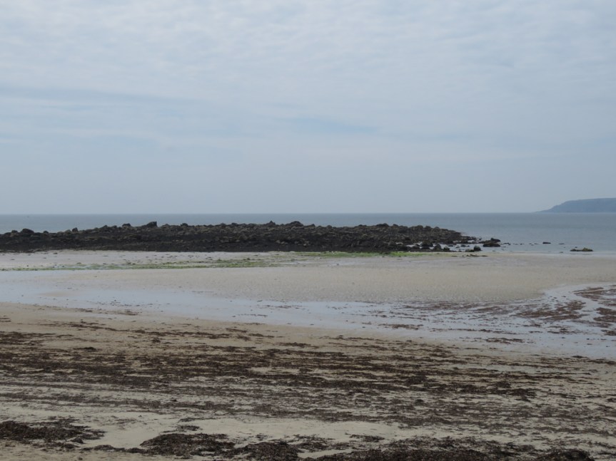
The beach itself is quite flat, and when the tide is out one can wade quite far in places. A beach like this would be stacked with people, blankets, chairs, and fishing poles back home in Florida. Here, the beach was mainly empty, with people enjoying sea views from benches, restaurants, and shops from the village.
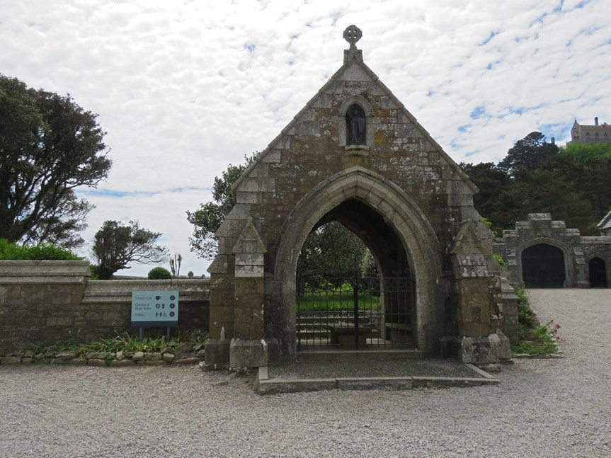
The castle and chapel are impressive, even at a distance and I imagine the views commanded from this vantage-point are impressive. People do live and work on the island, and an order of monks is active at the chapel.

The main part of the island was gated and closed, which seems a shame as there are extensive gardens and a museum I would have liked to see. I hear the geology is unique and impressive as well. But it was a lovely diversion nonetheless, but we couldn’t stay long as the tide was about to come in, which threatened to strand us on the island (or at least have to hire a boat) as the causeway would be inundated.
Meanwhile, back on the beach…

We walked back to the beach and then into Marazion, and had lunch at a cafe that had some local fare, known as a pasty. Pasties are a pastry filled with meat and root vegetables. Traditionally, they were miners’ food. The thick crust around the edge serving as a handhold that wasn’t normally eaten since the miners’ hands might be contaminated by arsenic or other poisonous substances related to mining.

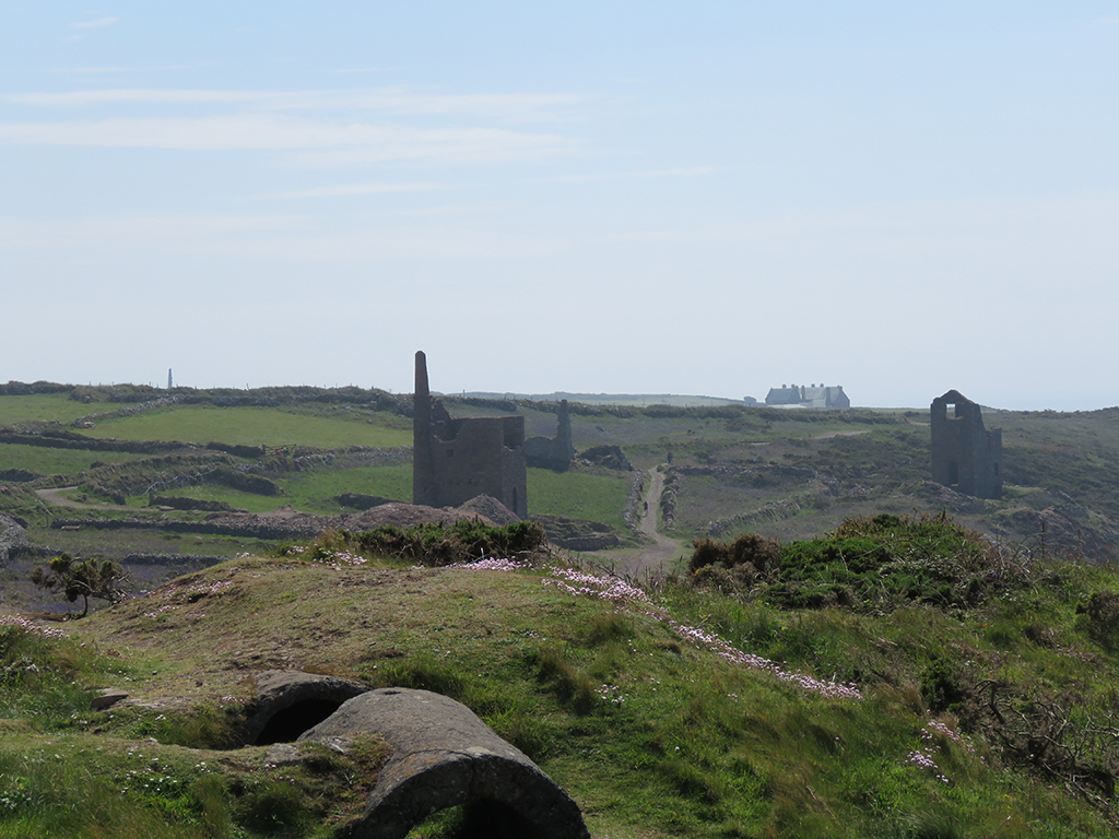
From Marazion we worked our way west along the coast until we reached the ruins of the Botallack Mine, not far from the town of St. Just [map].

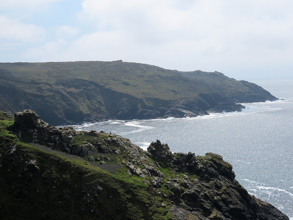
This stretch of coast has to be one of the most dramatic and impressive sights we saw in our whole trip. The juxtaposition of the natural beauty of the rocky coast and dramatic cliffs with the many abandoned mining structures makes for a nearly unparalleled visual experience. Add in the roar of the waves on the rocks below and the wildflowers blooming, and you can imagine what an experience this was.
As we approached the cliffs, a low fog was dispersing along the coast, which made the scene even more fantastical.

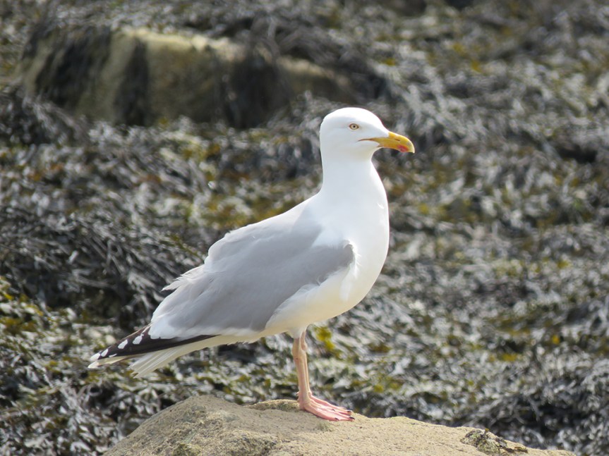
Seabirds were circling below (Northern Fulmars, as it happens) as waves and foam churned on the rocks. We were only able to walk so far down along the cliffs due to trail closures for safety.

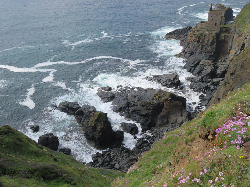
The scope and scale of the cliffs are hard to grasp from photos alone. They are hundreds of feet high, some with very narrow places to walk out on. The lingering fog helped confuse the distance cues a bit, but added to the drama.

We were very near both Penzance and Land’s End, but we stopped at neither. On a future visit I would like to spend more time in this part of England and take it all in, natural and human.
We spent some time marveling at the scenery before climbing back out, past the mining houses and the furnace ruins, looking up at smokestacks that seem to defy gravity and the elements.

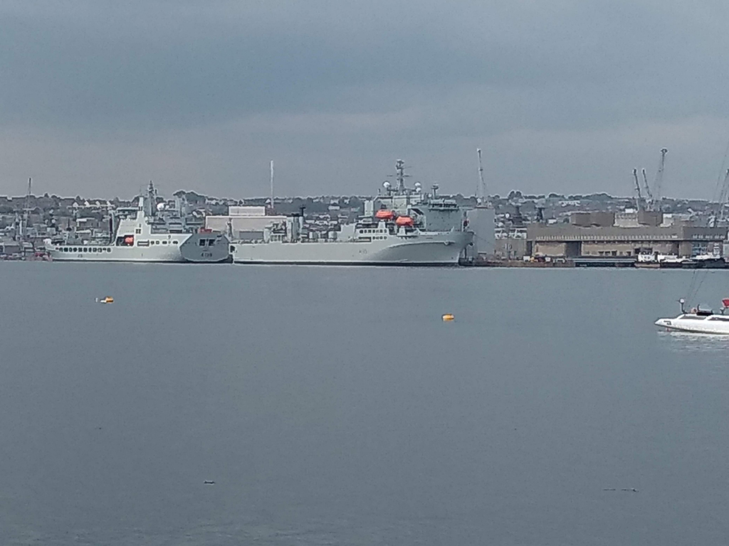
As we made our way back toward Bristol, we crossed into Plymouth by way of the Torpoint Ferry, rather than the bridge. It was fun.

Mrs. Lonely Birder and I got out of the car and went up on the deck and enjoyed some fresh air and a look at a few Royal Navy Ships. The ferries run on cables between both sides which is a safer, if more boring option for ferries ;-).
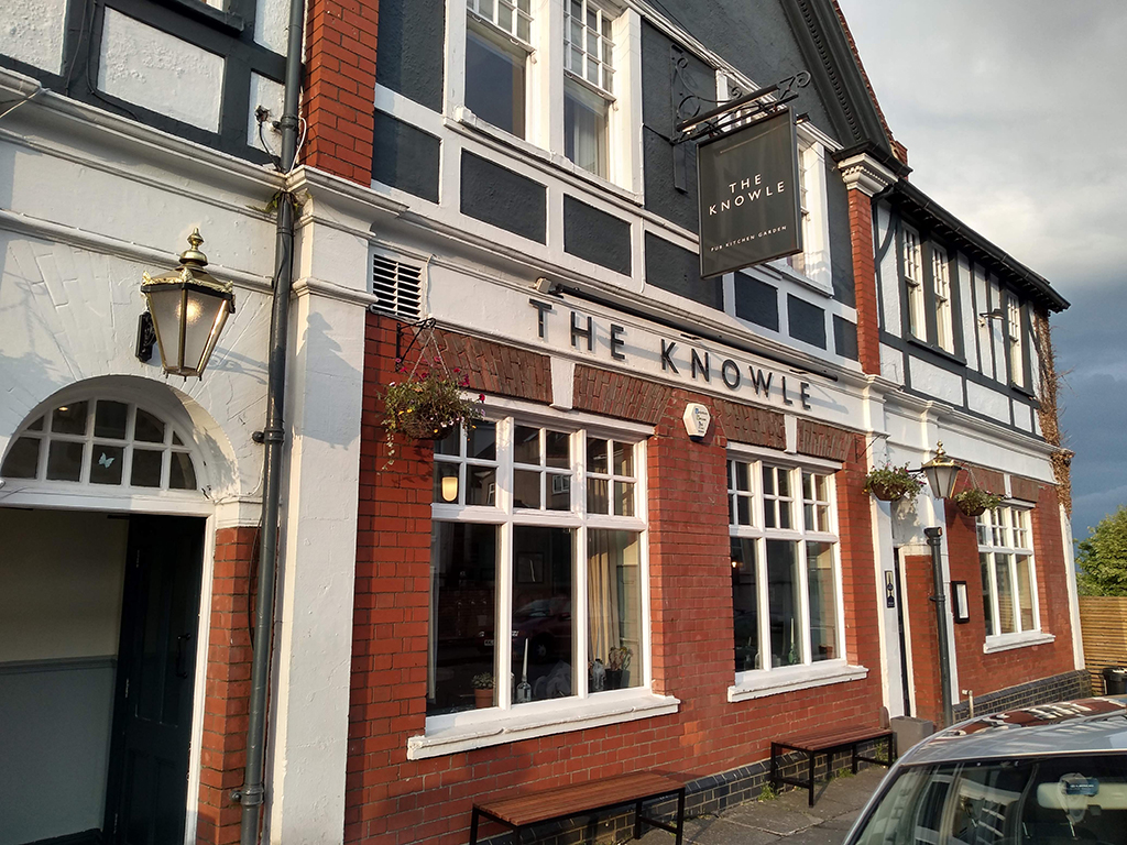
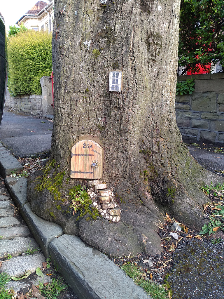
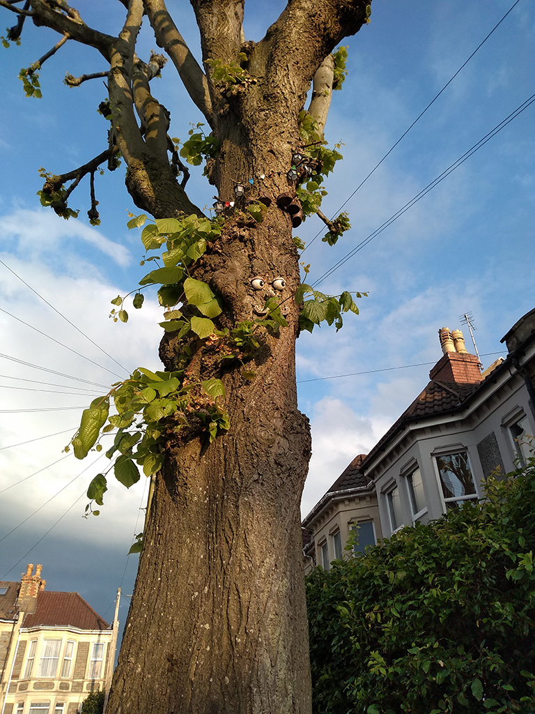
We eventually got back to Bristol and walked to the local pub (The Knowle) so those that imbibe could have a pint and we unwound a bit. On the way there, we passed some trees that have been decorated like fairy homes!
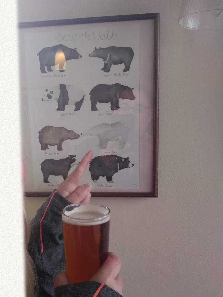
We ended the day out at the pub, in which Mrs. Lonely Birder saw a familiar friend, reminding us of our previous epic trip to Churchill, Manitoba! I’ll leave you with a couple of parting shots.